Transport Functions
Port
Rail
Road
Hub Profile
Region
35
Location
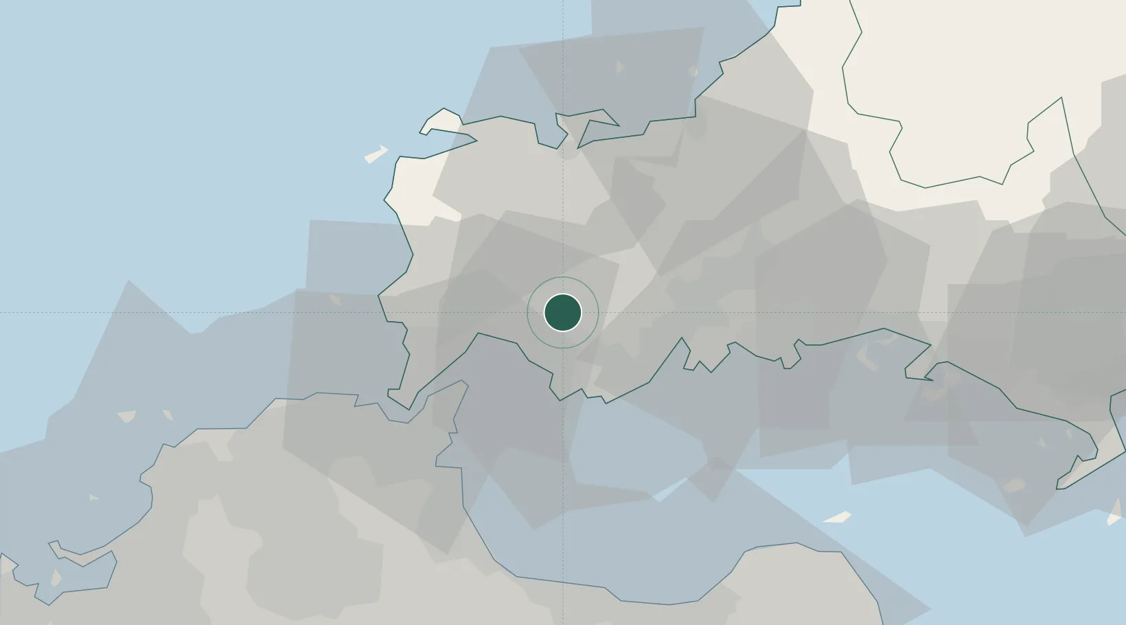
Nearby Logistics Neighbours
Cities
- 1Ube17 km
- 2Moji/Kitakyushu24 km
- 3Shinmoji30 km
- 4Kanmon32 km
- 5Nakanoseki34 km
Ports
- 1Onoda9 km
- 2Ube Ko17 km
- 3Moji Ko25 km
- 4Shimonoseki28 km
- 5Muturezima Ko32 km
Airports
- 1Yamaguchi Ube Airport19 km
- 2Kitakyushu Airport30 km
- 3JASDF Hofu Airfield34 km
- 4JASDF Tsuiki Air Base46 km
- 5JASDF Ashiya Air Base54 km
Trade Zones
- 1Yamaguchi Next-Generation Agricultural Production Structure Establishment Special Zone71 km
- 2Higashi Kyushu Medical Valley Concept Special Zone85 km
- 3Green Asia International Strategic Comprehensive Special Zone88 km
- 4Morisato Kairenkan Takatsu River Basin Hometown Concept Special Zone89 km
- 5Kyushu Asia Tourism Island Comprehensive Special Zone91 km
DatabookThe Record of Consolidated Knowledge
Japan beyond logistics?