Seaport · Japan
Ube KoJPUBJ
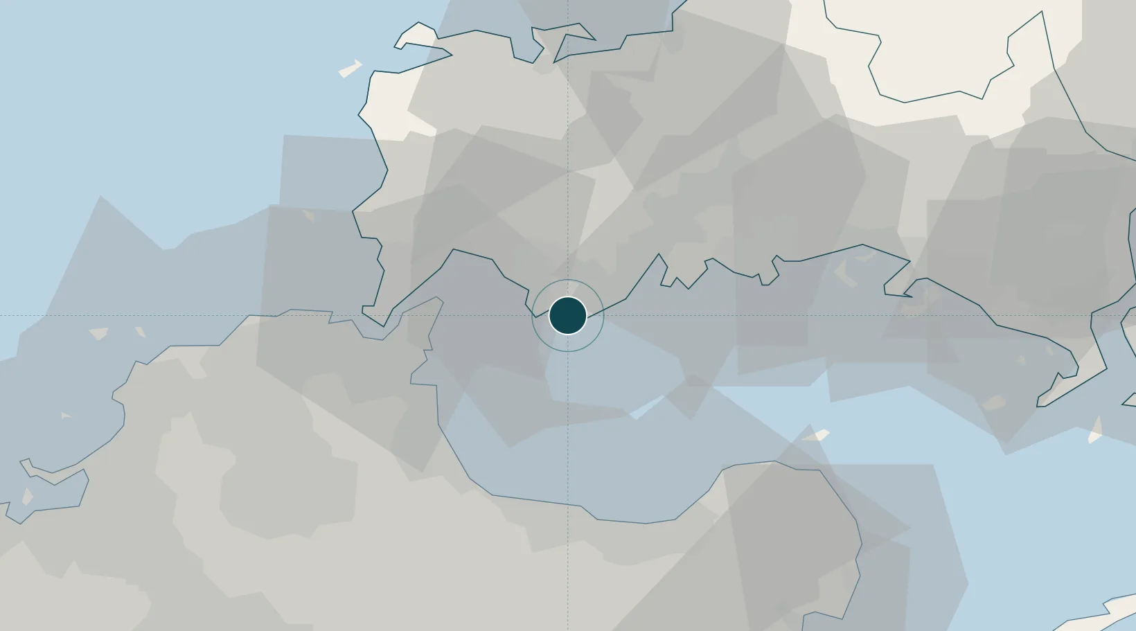
33.9333°, 131.2333°
11.0 m
Channel depth
1
Container terminals
9.1
Port liner connectivity
Channel & Berth Profile
Pilotage, Tugs & Services
Pilotage compulsoryNO
Pilotage availableYES
Pilotage advisableYES
Tug assistanceYES
Potable waterYES
Diesel bunkersYES
MedicalYES
Facilities & Capabilities
Container—
Ro-Ro—
Liquid bulk—
Dry bulk—
Oil terminal—
Break bulk—
Dry dockNO
RepairsNO
BunkeringYES
Rail linkYES
Dangerous cargo—
ISPS security—
Harbour Specifications
Harbour size
Medium
Harbour type
Coastal (Breakwater)
Shelter
Fair
Water body
Korea Strait; North Pacific Ocean
Tidal range
4 m
Overhead limit
Yes
Pilotage
No
Liner Connectivity
9.1
PLSCI
Port Liner Shipping Connectivity Index for Ube Ko, as published by UNCTAD for the latest available quarter. Higher values indicate stronger scheduled liner-shipping integration.
Shown relative to the highest per-port PLSCI in the dataset (1,657.9).
Location
Container Terminals · 1
UBE SHIBANAKA WEST WHARF
SWW UBE PORT AUTHORITY
Nearby Logistics Neighbours
Ports
- 1Onoda9 km
- 2Moji Ko25 km
- 3Kanda26 km
- 4Shimonoseki28 km
- 5Kokura Ko33 km
Cities
- 1Sanyo Onoda Yamaguchi17 km
- 2Moji/Kitakyushu24 km
- 3Shinmoji24 km
- 4Kanmon30 km
- 5Nakanoseki30 km
Airports
- 1Yamaguchi Ube Airport4 km
- 2Kitakyushu Airport21 km
- 3JASDF Hofu Airfield31 km
- 4JASDF Tsuiki Air Base33 km
- 5JASDF Ashiya Air Base54 km
Trade Zones
- 1Yamaguchi Next-Generation Agricultural Production Structure Establishment Special Zone66 km
- 2Higashi Kyushu Medical Valley Concept Special Zone82 km
- 3Green Asia International Strategic Comprehensive Special Zone84 km
- 4Kyushu Asia Tourism Island Comprehensive Special Zone86 km
- 5Fukuoka City Strategic Special Zone87 km
DatabookThe Record of Consolidated Knowledge
Japan beyond logistics?