Transport Functions
Port
Rail
Road
Hub Profile
Place type
Provincial seat
Region
Yamaguchi
Population
116,925
Time zone
Asia/Tokyo
Elevation
4 m
Logistics facilities
1
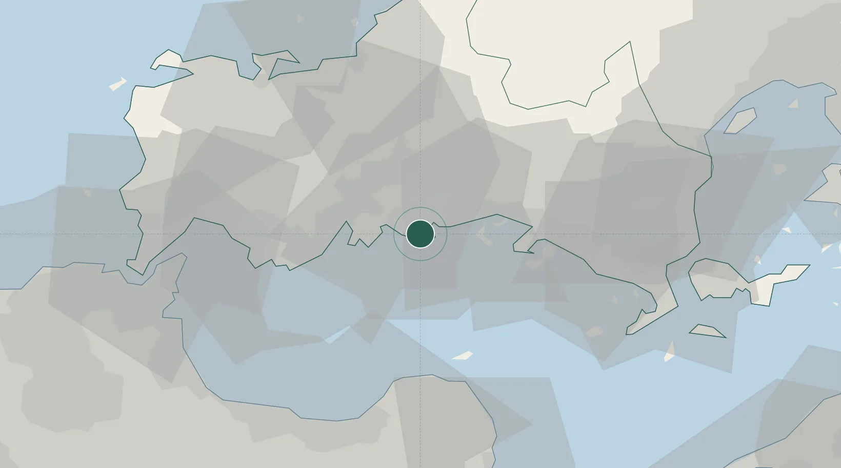
Location
Nearby Logistics Neighbours
Cities
- 1Nakanoseki1 km
- 2Mitajiri3 km
- 3Tokuyamakudamatsu19 km
- 4Tokuyama22 km
- 5Ube31 km
Airports
- 1JASDF Hofu Airfield3 km
- 2Yamaguchi Ube Airport28 km
- 3Kitakyushu Airport52 km
- 4JASDF Tsuiki Air Base60 km
- 5Oita Airport61 km
Trade Zones
- 1Yamaguchi Next-Generation Agricultural Production Structure Establishment Special Zone36 km
- 2Morisato Kairenkan Takatsu River Basin Hometown Concept Special Zone80 km
- 3Hiroshima Prefecture Imabari City National Strategic Special Zone92 km
- 4Higashi Kyushu Medical Valley Concept Special Zone113 km
- 5Green Asia International Strategic Comprehensive Special Zone115 km
DatabookThe Record of Consolidated Knowledge
Japan beyond logistics?