Transport Functions
Multimodal
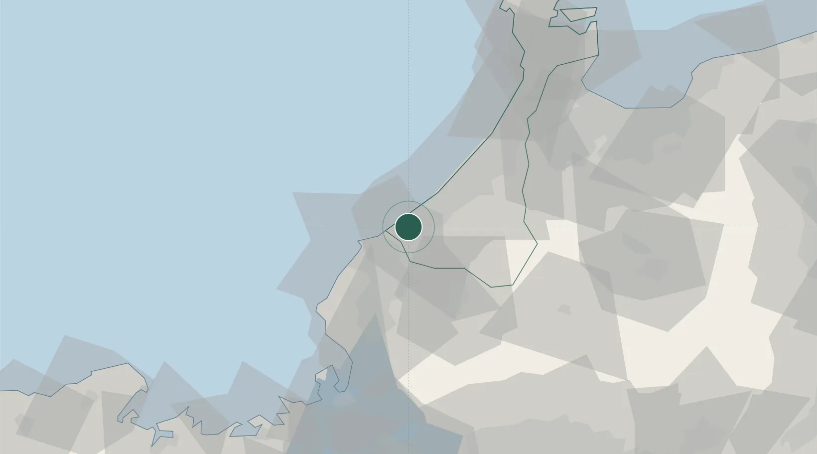
Hub Profile
Place type
Provincial seat
Region
Ishikawa
Population
67,793
Time zone
Asia/Tokyo
Elevation
20 m
Location
Nearby Logistics Neighbours
Ports
- 1Fukui28 km
- 2Kanazawa43 km
- 3Tsuruga Ko76 km
- 4Fushiki-Toyama90 km
- 5Nanao Ko102 km
Airports
- 1Komatsu Airport / JASDF Komatsu Air Base13 km
- 2Fukui Airport19 km
- 3Toyama Kitokito Airport87 km
- 4Gifu Airport112 km
- 5Noto Satoyama Airport125 km
Trade Zones
- 1Toyama Community-based Welfare Promotion Special Zone88 km
- 2Nagahama Bio-Life Science Special Zone105 km
- 3Kyoto City Regional Revitalization Comprehensive Special Zone146 km
- 4Asias No. 1 Aerospace Industry Cluster Formation Special Zone148 km
- 5Toyota Next Generation Energy and Mobility Creation Special Zone150 km
DatabookThe Record of Consolidated Knowledge
Japan beyond logistics?