Transport Functions
Multimodal
Hub Profile
Region
18
Location
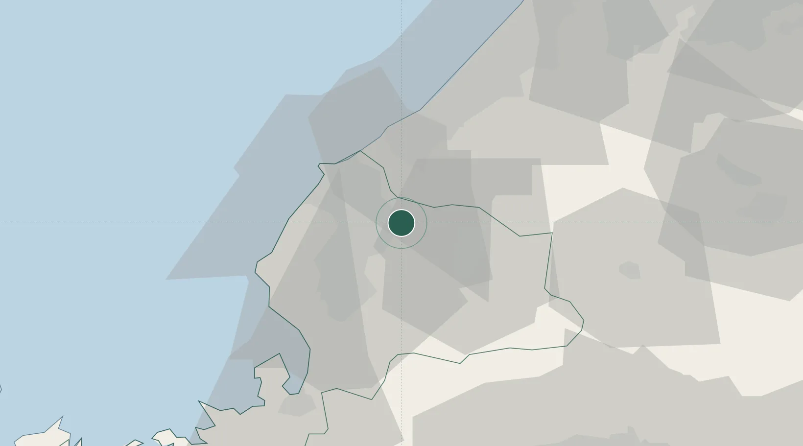
Nearby Logistics Neighbours
Cities
- 1Awara15 km
- 2Ono19 km
- 3Sabae Fukui22 km
- 4Kaga22 km
- 5Ataka36 km
Ports
- 1Fukui13 km
- 2Tsuruga Ko56 km
- 3Kanazawa62 km
- 4Uchiura99 km
- 5Fushiki-Toyama103 km
Airports
Trade Zones
- 1Nagahama Bio-Life Science Special Zone83 km
- 2Toyama Community-based Welfare Promotion Special Zone102 km
- 3Kyoto City Regional Revitalization Comprehensive Special Zone126 km
- 4Asias No. 1 Aerospace Industry Cluster Formation Special Zone127 km
- 5Toyota Next Generation Energy and Mobility Creation Special Zone131 km
DatabookThe Record of Consolidated Knowledge
Japan beyond logistics?