Transport Functions
Rail
Multimodal
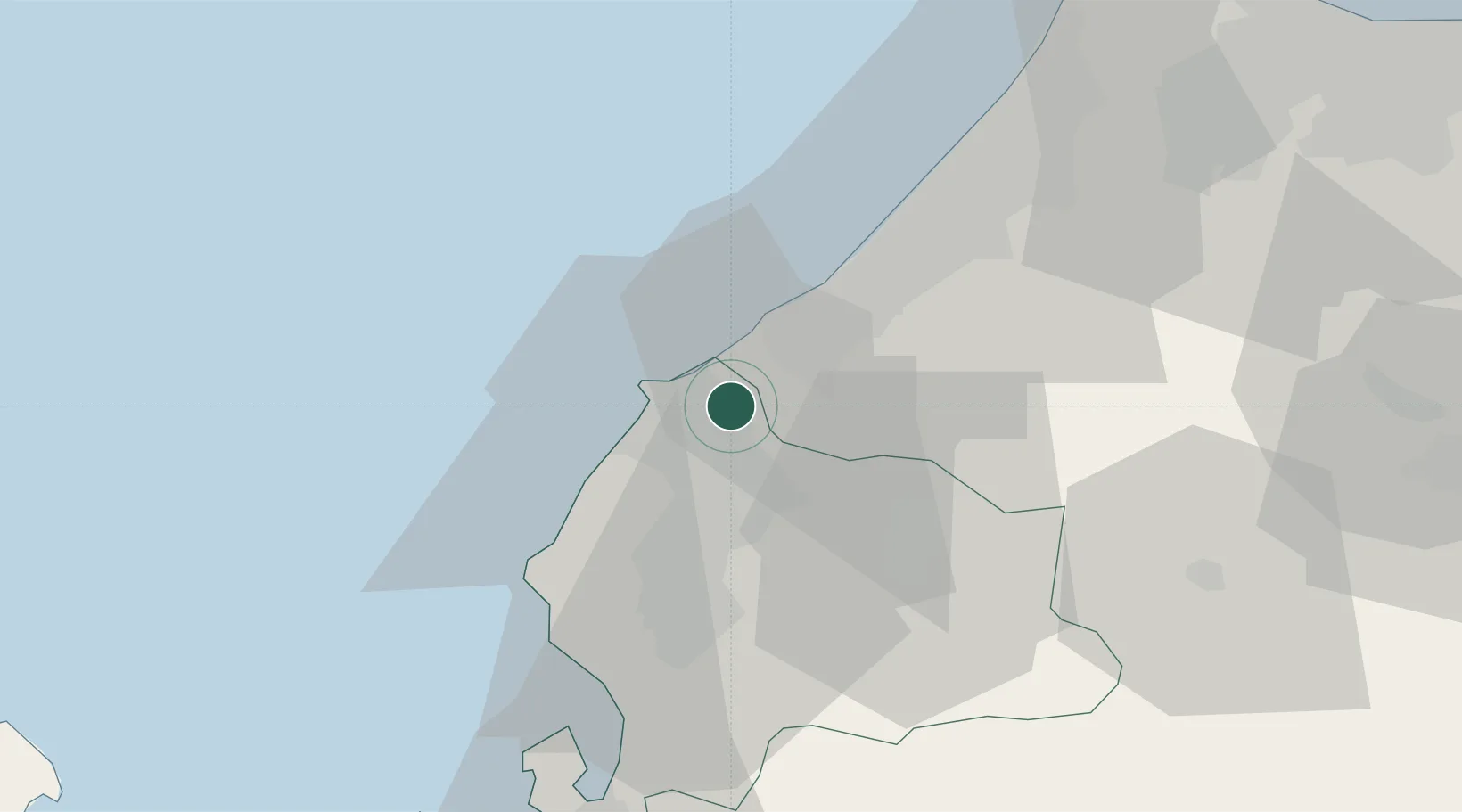
Hub Profile
Place type
Provincial seat
Region
Fukui
Population
27,524
Time zone
Asia/Tokyo
Elevation
5 m
Location
Nearby Logistics Neighbours
Cities
- 1Kaga11 km
- 2Eiheiji15 km
- 3Ataka27 km
- 4Sabae Fukui30 km
- 5Ono33 km
Ports
- 1Fukui17 km
- 2Kanazawa54 km
- 3Tsuruga Ko65 km
- 4Fushiki-Toyama100 km
- 5Uchiura103 km
Airports
Trade Zones
- 1Nagahama Bio-Life Science Special Zone96 km
- 2Toyama Community-based Welfare Promotion Special Zone99 km
- 3Kyoto City Regional Revitalization Comprehensive Special Zone135 km
- 4Asias No. 1 Aerospace Industry Cluster Formation Special Zone142 km
- 5Lake Biwa Southern Area New Industry Creation Special Zone142 km
DatabookThe Record of Consolidated Knowledge
Japan beyond logistics?