Transport Functions
Multimodal
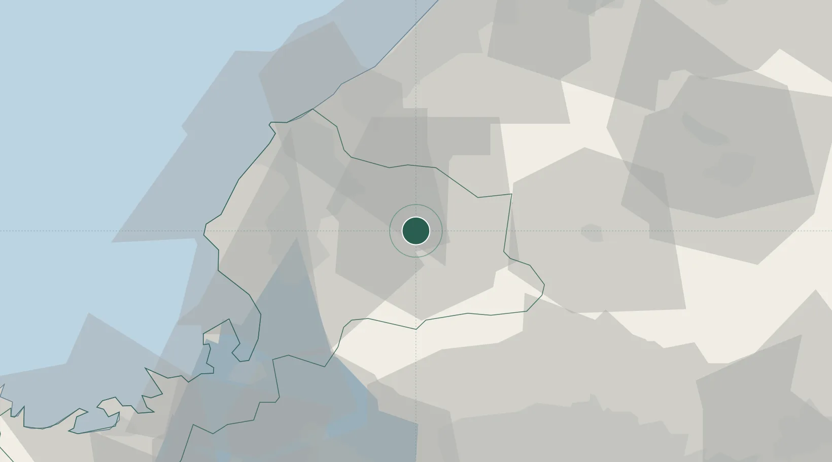
Hub Profile
Place type
Provincial seat
Region
Fukui
Population
33,640
Time zone
Asia/Tokyo
Elevation
175 m
Location
Nearby Logistics Neighbours
Cities
- 1Eiheiji19 km
- 2Sabae Fukui27 km
- 3Awara33 km
- 4Kaga38 km
- 5Ataka49 km
Ports
- 1Fukui27 km
- 2Tsuruga Ko53 km
- 3Kanazawa71 km
- 4Uchiura103 km
- 5Fushiki-Toyama105 km
Airports
Trade Zones
DatabookThe Record of Consolidated Knowledge
Japan beyond logistics?