Medium airport · Japan
JASDF Chitose Air BaseRJCJ
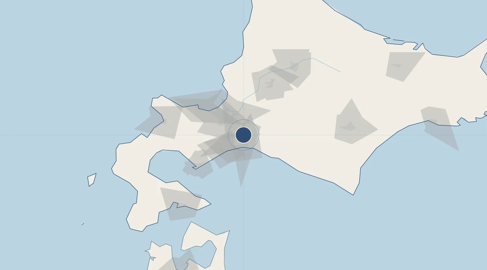
42.7945°, 141.6660°
13,124 ft
Longest runway
2
Runways
87 ft
Elevation
Runway & Layout

Radio Frequencies
TWR
118.2 MHz
GND
121.7 MHz
CLD
121.9 MHz
CLNC DEL
APP
120.1 MHz
DEP
124.7 MHz
PMSV
34.46 MHz
METRO
TCA
127.7 MHz
Navaids
CH NDB Chitose 347 kHz
CHE VOR-DME Chitose 116.90 MHz
ZYT TACAN Chitose 109.20 MHz
Runways · 2
| Runway | Dimensions | Surface | True heading | Lit |
|---|---|---|---|---|
| 18L/36R | 13,124 × 200ft | Concrete | 173° | ✓ |
| 18R/36L | 8,860 × 148ft | Asphalt | 172° | ✓ |
Airport Specifications
ICAO code
RJCJ
Airport class
Medium airport
Scheduled service
No
Runway surface
Concrete
Served city
Chitose
Location
Nearby Logistics Neighbours
Airports
- 1New Chitose Airport3 km
- 2Sapporo Okadama Airport43 km
- 3Asahikawa Airport116 km
- 4Tokachi Airport122 km
- 5Tokachi-Obihiro Airport127 km
Cities
- 1Tomakomai21 km
- 2Sapporo40 km
- 3Iwamizawa46 km
- 4Ishikari53 km
- 5Ishikariwan Shinko53 km
Ports
- 1Tomakomai Ko18 km
- 2Ishikari Bay New Port56 km
- 3Wakkanai69 km
- 4Otaru Ko69 km
- 5Muroran Ko76 km
DatabookThe Record of Consolidated Knowledge
Japan beyond logistics?