Specialized Zone · Japan

KING Skyfront, Tonomachi International Strategic Zone Active
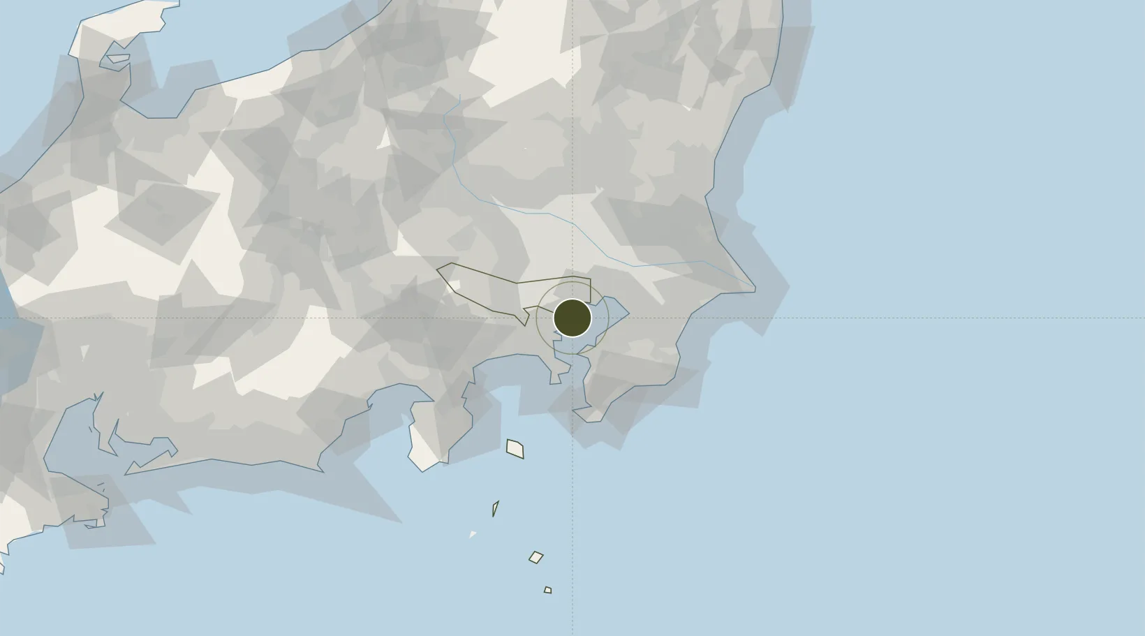
35.5397°, 139.7539°
40 ha
Zone area
4.6 km
Nearest port
3.2 km
Nearest airport

Gateway access

Nearest neighbours — logibook spatial index (haversine) over the source coordinates

Zone profile

Zone type
Specialized Zone
Open Zone Map
Specialization
Tech
Open Zone Map
Region
Tokyo
Open Zone Map
Status
Active
Open Zone Map
Management
Public
Open Zone Map
Operator
Kawasaki Institute of Industrial Promotion
Open Zone Map
Legal framework
Special Measures Concerning Urban Regeneration Act
Open Zone Map

Location

Location of ozm-2606
Natural Earth 10m (public domain) · Tokyo · ozm-2606 · 35.54, 139.75GoogleOSMYandex

Nearby Logistics Neighbours

Ports
  1. 1Kawasaki Ko5 km
  2. 2Tokyo Ko14 km
  3. 3Yokohama Ko18 km
  4. 4Kisarazu Ko23 km
  5. 5Funabashi23 km
Nearest neighbours — logibook spatial index (haversine) over the source coordinates
Airports
  1. 1Tokyo Haneda International Airport3 km
  2. 2JGSDF Kisarazu Airfield21 km
  3. 3Chofu Airport25 km
  4. 4JMSDF Atsugi Air Base / Naval Air Facility Atsugi29 km
  5. 5JMSDF Shimofusa Air Base37 km
Nearest neighbours — logibook spatial index (haversine) over the source coordinates
Cities
  1. 1Ota-Ku5 km
  2. 2Asahimachi5 km
  3. 3Kawasaki6 km
  4. 4Shinagawa, Tokyo8 km
  5. 5Tokyo9 km
Nearest neighbours — logibook spatial index (haversine) over the source coordinates
DatabookThe Record of Consolidated Knowledge
Japan beyond logistics?
Browse databook

All Sources

Trade ZonesOpen Zone Map
CC BY
Portsthe NGA World Port Index
Public domain (US gov)
AirportsOurAirports
Public domain
LocationsUN/LOCODE
UN/LOCODE — free
← Japan trade zones