Channel & Berth Profile
Pilotage, Tugs & Services
Pilotage compulsoryYES
Pilotage availableYES
Tug assistanceYES
Salvage tugsYES
Potable waterYES
MedicalYES
Garbage disposalNO
Facilities & Capabilities
Container—
Ro-Ro—
Liquid bulk—
Dry bulk—
Oil terminal—
Break bulk—
Dry dockNO
RepairsNO
BunkeringYES
Rail link—
Dangerous cargo—
ISPS security—
Harbour Specifications
Harbour size
Very Small
Harbour type
Coastal (Breakwater)
Shelter
Fair
Water body
North Pacific Ocean
Tidal range
2 m
Overhead limit
Yes
Pilotage
Yes
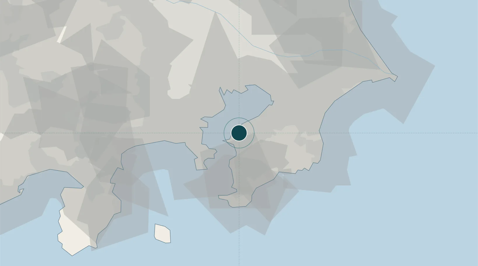
Location
Nearby Logistics Neighbours
Ports
- 1Kawasaki Ko18 km
- 2Uraga Ko21 km
- 3Yokosuka Ko22 km
- 4Yokohama Ko29 km
- 5Chiba Ko29 km
Cities
- 1Ichihara17 km
- 2Kawasaki18 km
- 3Yokohama20 km
- 4Yokosuka21 km
- 5Naka-Ku, Kanagawa22 km
Airports
Trade Zones
DatabookThe Record of Consolidated Knowledge
Japan beyond logistics?