UN/LOCODE hub · Japan
JPFTS

Futtsu, Chiba

35.5833°, 140.3833°
1
Transport functions

Transport Functions

Port
UN/LOCODE

Hub Profile

Region
12
GeoNames

Location

Location of JPFTS
Natural Earth 10m (public domain) · 12 · JPFTS · 35.58, 140.38GoogleOSMYandex

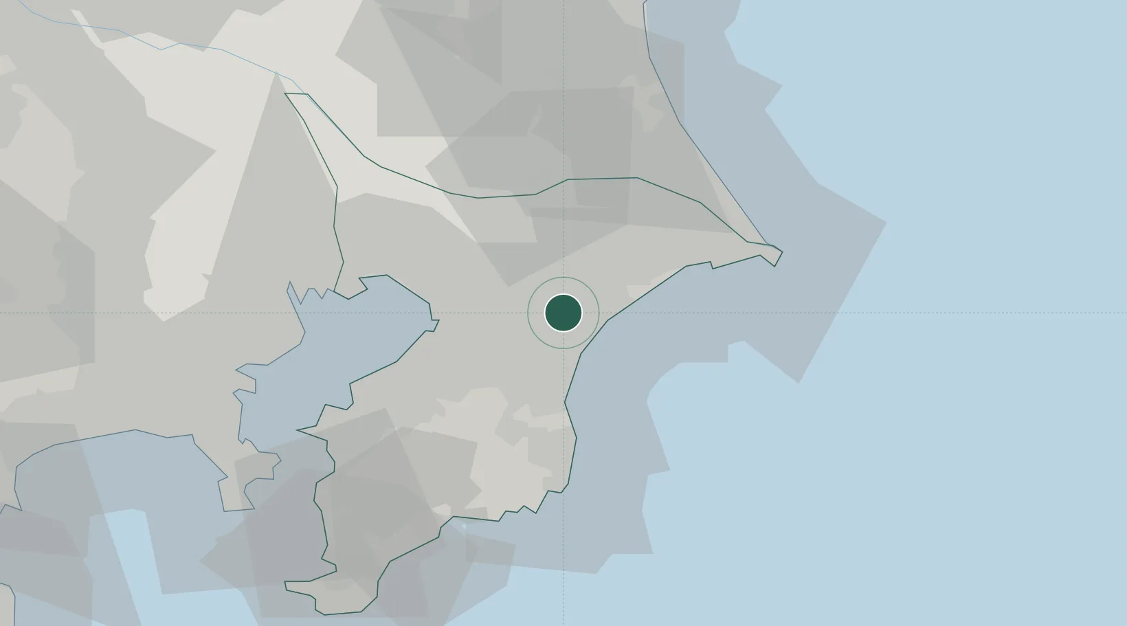
Nearby Logistics Neighbours

Cities
  1. 1Togane2 km
  2. 2Katori-Gun15 km
  3. 3Katori15 km
  4. 4Tomisato16 km
  5. 5Shisui Chiba18 km
Nearest neighbours — logibook spatial index (haversine) over the source coordinates
Ports
  1. 1Chiba Ko29 km
  2. 2Funabashi40 km
  3. 3Choshi45 km
  4. 4Kashima Ko48 km
  5. 5Kisarazu Ko51 km
Nearest neighbours — logibook spatial index (haversine) over the source coordinates
Airports
  1. 1Narita International Airport21 km
  2. 2JMSDF Shimofusa Air Base41 km
  3. 3JGSDF Kisarazu Airfield48 km
  4. 4Tokyo Haneda International Airport54 km
  5. 5Ibaraki International Airport67 km
Nearest neighbours — logibook spatial index (haversine) over the source coordinates
DatabookThe Record of Consolidated Knowledge
Japan beyond logistics?
Browse databook

All Sources

LocationsUN/LOCODE
UN/LOCODE — free
Portsthe NGA World Port Index
Public domain (US gov)
AirportsOurAirports
Public domain
Trade Zonesthe World Bank SEZ database
CC BY 4.0
Trade ZonesOpen Zone Map
CC BY
← Japan locations