Medium airport · Japan
Chofu AirportRJTF
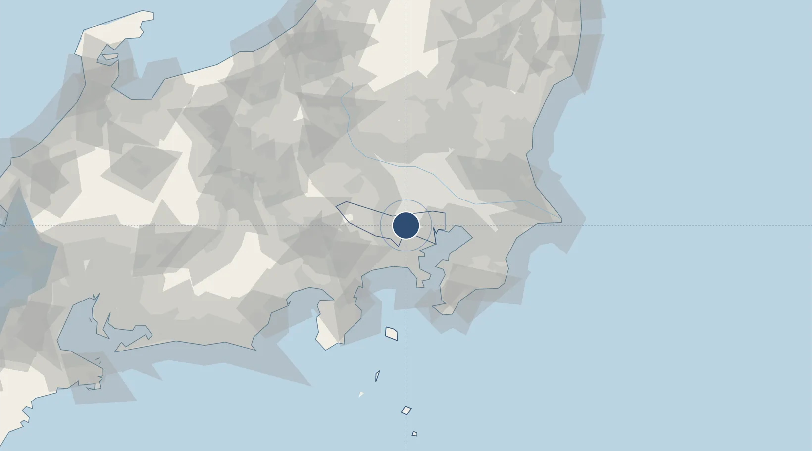
35.6717°, 139.5280°
2,625 ft
Longest runway
1
Runways
141 ft
Elevation
Runway & Layout

Runways · 1
| Runway | Dimensions | Surface | True heading | Lit |
|---|---|---|---|---|
| 17/35 | 2,625 × —ft | asphalt | — | — |
Airport Specifications
ICAO code
RJTF
Airport class
Medium airport
Scheduled service
Yes
Runway surface
asphalt
Served city
Chofu
Location
Nearby Logistics Neighbours
Airports
Cities
- 1Chofu3 km
- 2Musashino4 km
- 3Fuchu-shi4 km
- 4Kokubunji6 km
- 5Kodaira, Tokyo8 km
Ports
- 1Tokyo Ko20 km
- 2Yokohama Ko25 km
- 3Kawasaki Ko29 km
- 4Funabashi38 km
- 5Yokosuka Ko45 km
Trade Zones
DatabookThe Record of Consolidated Knowledge
Japan beyond logistics?