Transport Functions
Road
Multimodal
Hub Profile
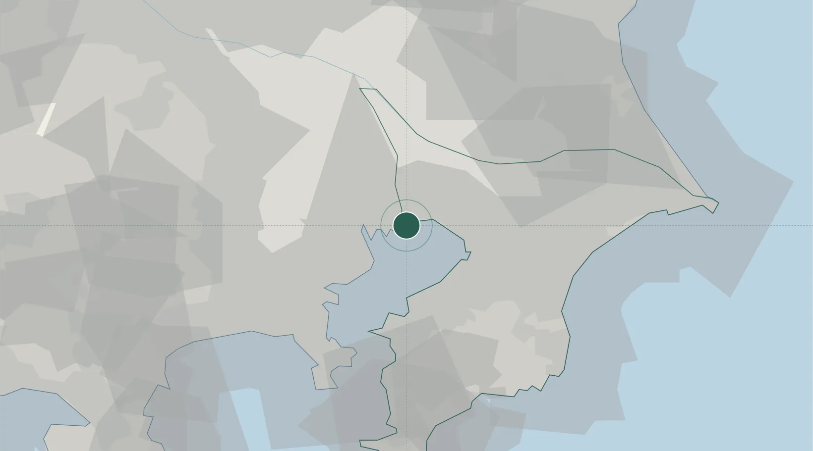
Place type
Populated place
Region
Chiba
Population
171,362
Time zone
Asia/Tokyo
Elevation
7 m
Location
Nearby Logistics Neighbours
Cities
- 1Koto-Ku7 km
- 2Katsushika-Ku10 km
- 3Sumida Tokyo11 km
- 4Narashino11 km
- 5Ariake, Tokyo11 km
Ports
- 1Funabashi5 km
- 2Tokyo Ko14 km
- 3Chiba Ko17 km
- 4Kawasaki Ko21 km
- 5Kisarazu Ko32 km
Airports
Trade Zones
DatabookThe Record of Consolidated Knowledge
Japan beyond logistics?