UN/LOCODE hub · Japan
JPCHB
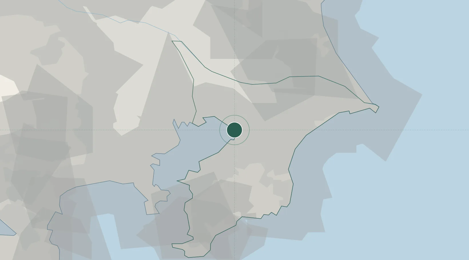
Chiba
35.5950°, 140.0934°
979,768
Population
1
Transport functions
1
Container terminals
Transport Functions
Port
Hub Profile
Place type
Regional capital
Region
Chiba
Population
979,768
Time zone
Asia/Tokyo
Elevation
5 m
Logistics facilities
3
Container terminals
1
Location
Nearby Logistics Neighbours
Cities
- 1Yotsukaido, Chiba9 km
- 2Narashino11 km
- 3Ichihara15 km
- 4Yachiyo15 km
- 5Urayasu19 km
Ports
- 1Funabashi15 km
- 2Kawasaki Ko31 km
- 3Kisarazu Ko32 km
- 4Tokyo Ko32 km
- 5Yokohama Ko49 km
Airports
Trade Zones
DatabookThe Record of Consolidated Knowledge
Japan beyond logistics?