Seaport · Japan
Yokohama KoJPYOK
35.4500°, 139.5833°
11.0 m
Channel depth
6
Container terminals
719.3
Port liner connectivity
Channel & Berth Profile
Pilotage, Tugs & Services
Pilotage compulsoryYES
Pilotage availableYES
Tug assistanceYES
Shore powerYES
Potable waterYES
Diesel bunkersYES
MedicalYES
Garbage disposalYES
Facilities & Capabilities
Container—
Ro-Ro—
Liquid bulk—
Dry bulk—
Oil terminal—
Break bulk—
Dry dockNO
RepairsNO
BunkeringYES
Rail linkYES
Dangerous cargo—
ISPS security—
Harbour Specifications
Harbour size
Large
Harbour type
Coastal (Breakwater)
Shelter
Good
Water body
North Pacific Ocean
Tidal range
2 m
Overhead limit
Yes
Pilotage
Yes
Liner Connectivity
719.3
PLSCI
Port Liner Shipping Connectivity Index for Yokohama Ko, as published by UNCTAD for the latest available quarter. Higher values indicate stronger scheduled liner-shipping integration.
Shown relative to the highest per-port PLSCI in the dataset (1,657.9).
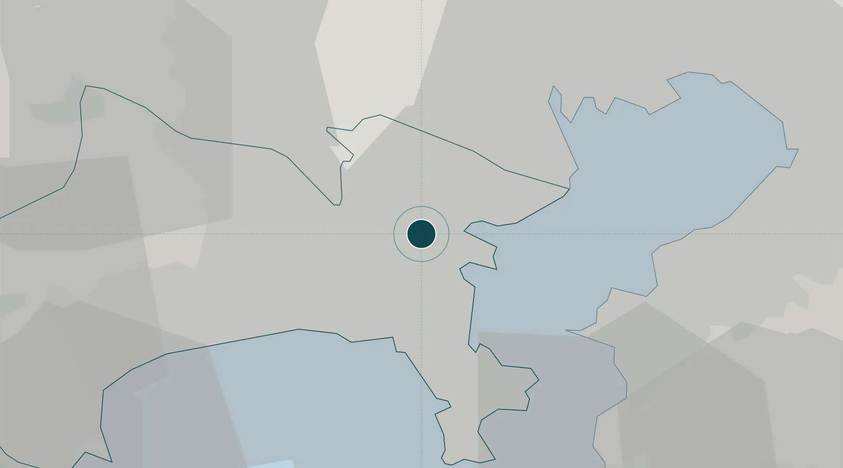
Location
Container Terminals · 6
APM TERMINALS YOKOHAMA (MC-1/2/3/4)
APMYOK APM TERMINALS
DAIKOKU T-9 CONTAINER TERMINAL
DT9 MITSUI SOKO CO., LTD. / SUMITOTO WAREHOUSE
HONMOKU BC CONTAINER TERMINAL
HBC YOKOHAMA PORT MEGA TERMINAL CO., LTD.
HONMOKU D-1 CONTAINER TERMINAL
HD1 YOKOHAMA PORT MEGA TERMINAL CO., LTD.
HONMOKU D-4 CONTAINER TERMINAL
HD4 CMA CGM JAPAN CO., LTD.
HONMOKU D-5 CONTAINER TERMINAL
HD5 (UNDER MAINTENANCE)
Nearby Logistics Neighbours
Ports
- 1Kawasaki Ko18 km
- 2Yokosuka Ko20 km
- 3Uraga Ko27 km
- 4Tokyo Ko28 km
- 5Kisarazu Ko29 km
Cities
- 1Yamashitacho6 km
- 2Naka-Ku, Kanagawa7 km
- 3Tsurumi-Ku9 km
- 4Tsuzuki Ku9 km
- 5Asahimachi14 km
Airports
Trade Zones
DatabookThe Record of Consolidated Knowledge
Japan beyond logistics?