Transport Functions
Port
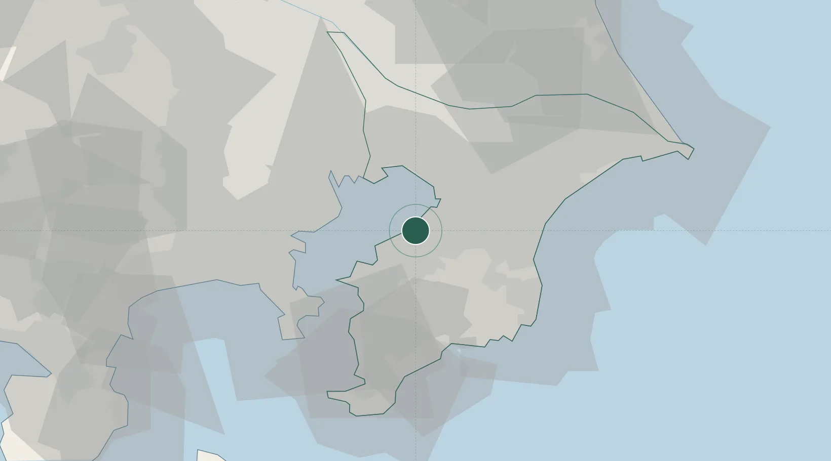
Hub Profile
Place type
Provincial seat
Region
Chiba
Population
283,531
Time zone
Asia/Tokyo
Elevation
1 m
Logistics facilities
1
Location
Nearby Logistics Neighbours
Cities
- 1Chiba15 km
- 2Narashino22 km
- 3Urayasu23 km
- 4Yotsukaido, Chiba24 km
- 5Kawasaki25 km
Ports
- 1Chiba Ko13 km
- 2Kisarazu Ko17 km
- 3Funabashi23 km
- 4Kawasaki Ko24 km
- 5Tokyo Ko33 km
Airports
Trade Zones
DatabookThe Record of Consolidated Knowledge
Japan beyond logistics?