Diversified Zone · Japan

Keihin Coastal Area Life Innovation International Strategic Comprehensive Special Zone Active
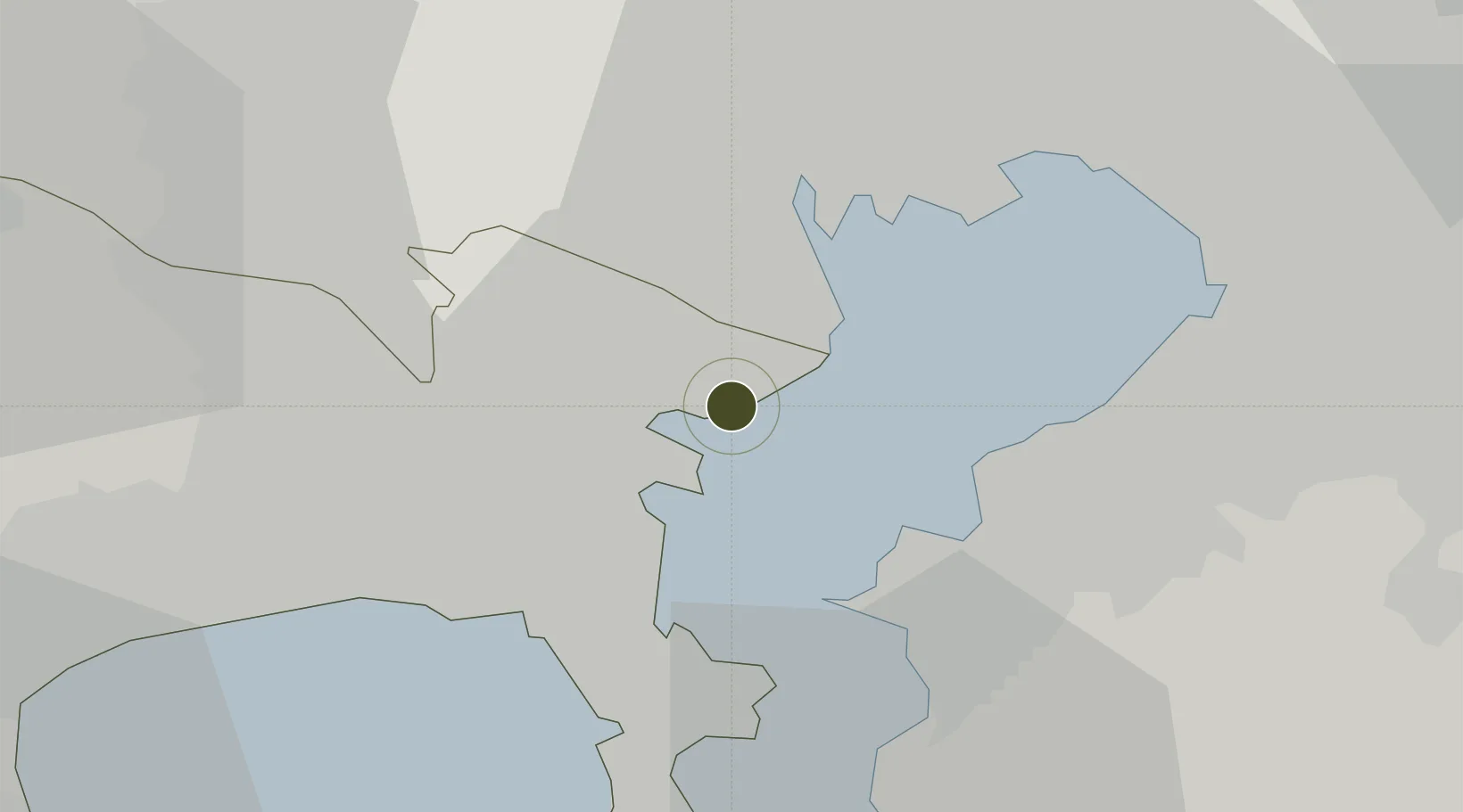
35.4708°, 139.7096°
117 ha
Zone area
6.1 km
Nearest port
11.2 km
Nearest airport

Gateway access

Nearest neighbours — logibook spatial index (haversine) over the source coordinates

Zone profile

Zone type
Diversified Zone
Open Zone Map
Region
Kanagawa
Open Zone Map
Status
Active
Open Zone Map
Management
Public
Open Zone Map
Operator
Life Innovation Regional Council
Open Zone Map
Legal framework
International Strategic Comprehensive Special Zone Designation of June 2016
Open Zone Map

Location

Location of ozm-2558
Natural Earth 10m (public domain) · Kanagawa · ozm-2558 · 35.47, 139.71GoogleOSMYandex

Nearby Logistics Neighbours

Ports
  1. 1Kawasaki Ko6 km
  2. 2Yokohama Ko12 km
  3. 3Kisarazu Ko20 km
  4. 4Yokosuka Ko21 km
  5. 5Tokyo Ko22 km
Nearest neighbours — logibook spatial index (haversine) over the source coordinates
Airports
  1. 1Tokyo Haneda International Airport11 km
  2. 2JGSDF Kisarazu Airfield20 km
  3. 3JMSDF Atsugi Air Base / Naval Air Facility Atsugi24 km
  4. 4Chofu Airport28 km
  5. 5Yokota Air Base45 km
Nearest neighbours — logibook spatial index (haversine) over the source coordinates
Cities
  1. 1Yokohama5 km
  2. 2Kawasaki5 km
  3. 3Tsurumi-Ku5 km
  4. 4Yamashitacho7 km
  5. 5Asahimachi7 km
Nearest neighbours — logibook spatial index (haversine) over the source coordinates
DatabookThe Record of Consolidated Knowledge
Japan beyond logistics?
Browse databook

All Sources

Trade ZonesOpen Zone Map
CC BY
Portsthe NGA World Port Index
Public domain (US gov)
AirportsOurAirports
Public domain
LocationsUN/LOCODE
UN/LOCODE — free
← Japan trade zones