UN/LOCODE hub · Japan
JPYKD

Yotsukaido, Chiba

35.6500°, 140.1667°
1
Transport functions

Transport Functions

Multimodal
UN/LOCODE

Hub Profile

Region
12
GeoNames

Location

Location of JPYKD
Natural Earth 10m (public domain) · 12 · JPYKD · 35.65, 140.17GoogleOSMYandex

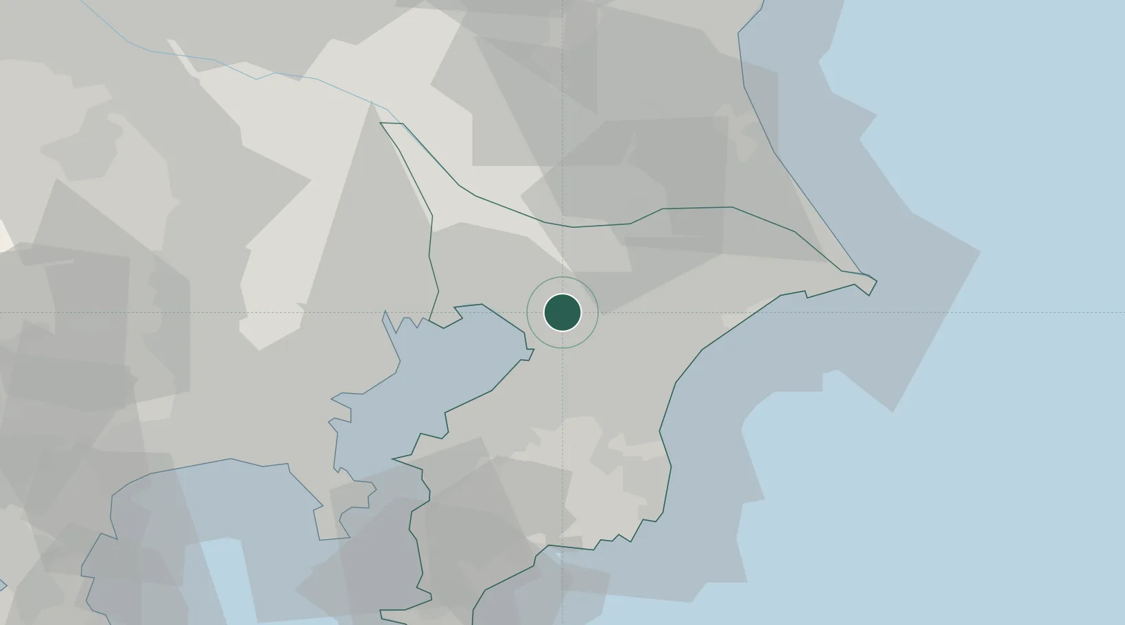
Nearby Logistics Neighbours

Cities
  1. 1Chiba9 km
  2. 2Yachiyo11 km
  3. 3Shisui Chiba12 km
  4. 4Narashino14 km
  5. 5Tomisato17 km
Nearest neighbours — logibook spatial index (haversine) over the source coordinates
Ports
  1. 1Chiba Ko12 km
  2. 2Funabashi20 km
  3. 3Tokyo Ko38 km
  4. 4Kawasaki Ko40 km
  5. 5Kisarazu Ko41 km
Nearest neighbours — logibook spatial index (haversine) over the source coordinates
Airports
  1. 1JMSDF Shimofusa Air Base22 km
  2. 2Narita International Airport24 km
  3. 3Tokyo Haneda International Airport36 km
  4. 4JGSDF Kisarazu Airfield36 km
  5. 5Chofu Airport58 km
Nearest neighbours — logibook spatial index (haversine) over the source coordinates
DatabookThe Record of Consolidated Knowledge
Japan beyond logistics?
Browse databook

All Sources

LocationsUN/LOCODE
UN/LOCODE — free
Portsthe NGA World Port Index
Public domain (US gov)
AirportsOurAirports
Public domain
Trade Zonesthe World Bank SEZ database
CC BY 4.0
Trade ZonesOpen Zone Map
CC BY
← Japan locations