UN/LOCODE hub · Japan
JPYCH

Yachiyo

35.7333°, 140.1000°
199,498
Population
3
Transport functions

Transport Functions

Port
Rail
Road
UN/LOCODE

Hub Profile

Place type
Provincial seat
GeoNames
Region
Chiba
GeoNames
Population
199,498
GeoNames
Time zone
Asia/Tokyo
GeoNames
Elevation
30 m
GeoNames

Location

Location of JPYCH
Natural Earth 10m (public domain) · Chiba · JPYCH · 35.73, 140.10GoogleOSMYandex

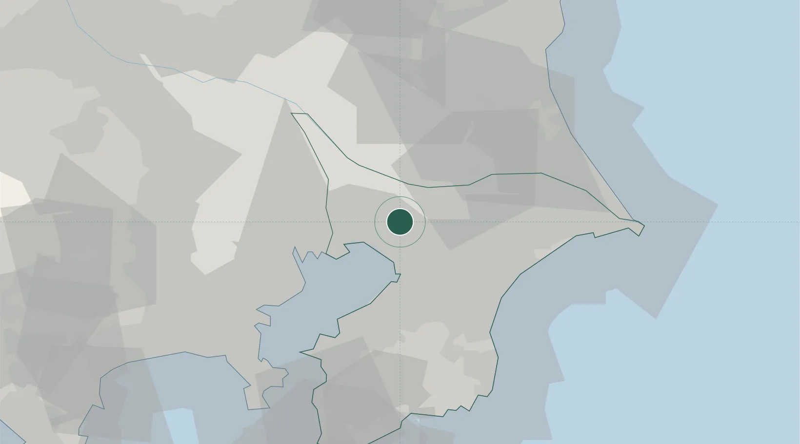
Nearby Logistics Neighbours

Cities
  1. 1Narashino11 km
  2. 2Yotsukaido, Chiba11 km
  3. 3Inzai12 km
  4. 4Shisui Chiba15 km
  5. 5Chiba15 km
Nearest neighbours — logibook spatial index (haversine) over the source coordinates
Ports
  1. 1Funabashi15 km
  2. 2Chiba Ko17 km
  3. 3Tokyo Ko33 km
  4. 4Kawasaki Ko40 km
  5. 5Kisarazu Ko45 km
Nearest neighbours — logibook spatial index (haversine) over the source coordinates
Airports
  1. 1JMSDF Shimofusa Air Base11 km
  2. 2Narita International Airport26 km
  3. 3Tokyo Haneda International Airport35 km
  4. 4JGSDF Kisarazu Airfield41 km
  5. 5Chofu Airport52 km
Nearest neighbours — logibook spatial index (haversine) over the source coordinates
DatabookThe Record of Consolidated Knowledge
Japan beyond logistics?
Browse databook

All Sources

LocationsUN/LOCODE
UN/LOCODE — free
LocationsGeoNames
CC BY 4.0
Portsthe NGA World Port Index
Public domain (US gov)
AirportsOurAirports
Public domain
Trade Zonesthe World Bank SEZ database
CC BY 4.0
Trade ZonesOpen Zone Map
CC BY
← Japan locations