Transport Functions
Port
Hub Profile
Place type
Provincial seat
Region
Chiba
Population
176,197
Time zone
Asia/Tokyo
Elevation
16 m
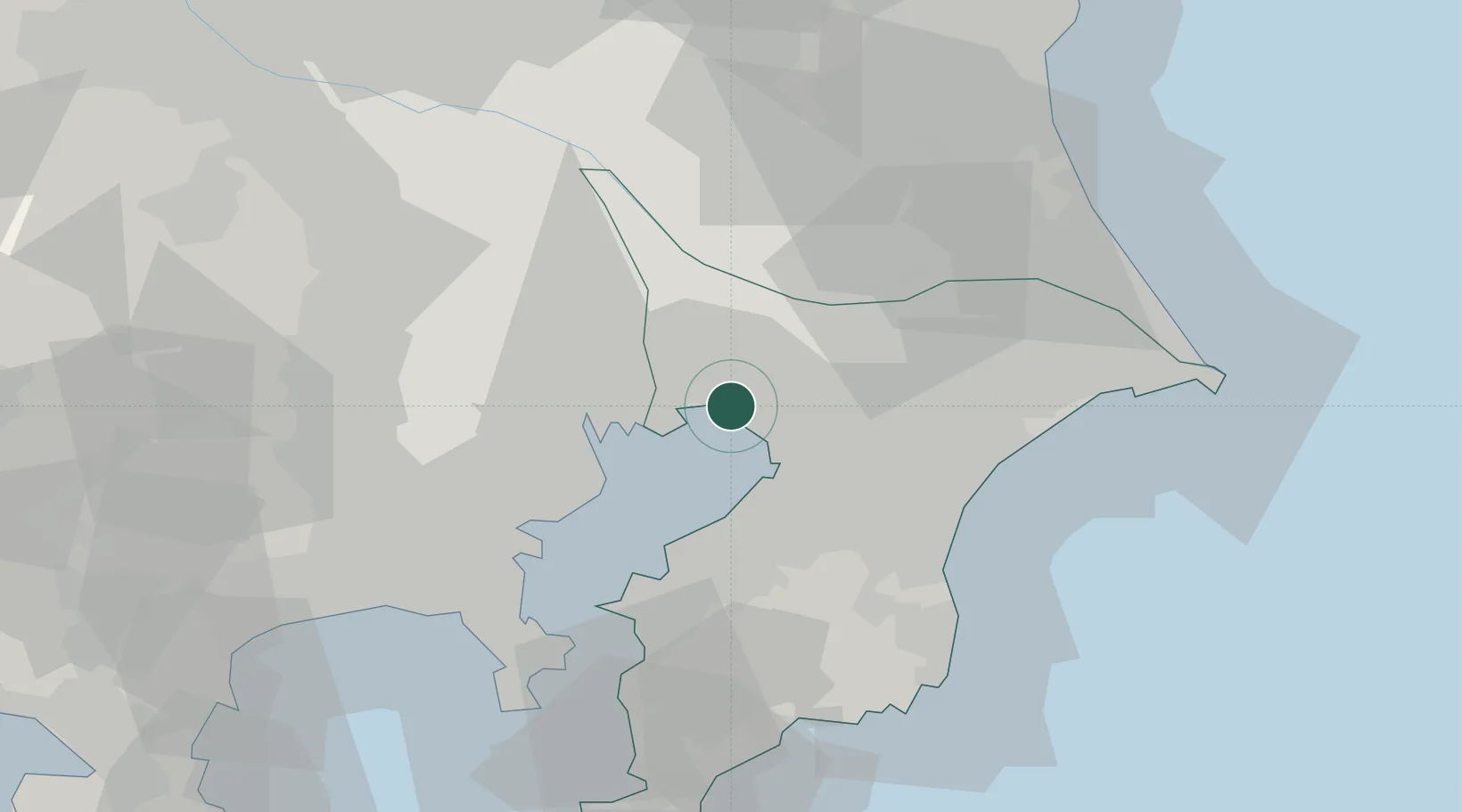
Location
Nearby Logistics Neighbours
Cities
- 1Chiba11 km
- 2Yachiyo11 km
- 3Urayasu11 km
- 4Yotsukaido, Chiba14 km
- 5Katsushika-Ku17 km
Ports
- 1Funabashi6 km
- 2Chiba Ko10 km
- 3Tokyo Ko24 km
- 4Kawasaki Ko29 km
- 5Kisarazu Ko36 km
Airports
Trade Zones
DatabookThe Record of Consolidated Knowledge
Japan beyond logistics?