Transport Functions
Port
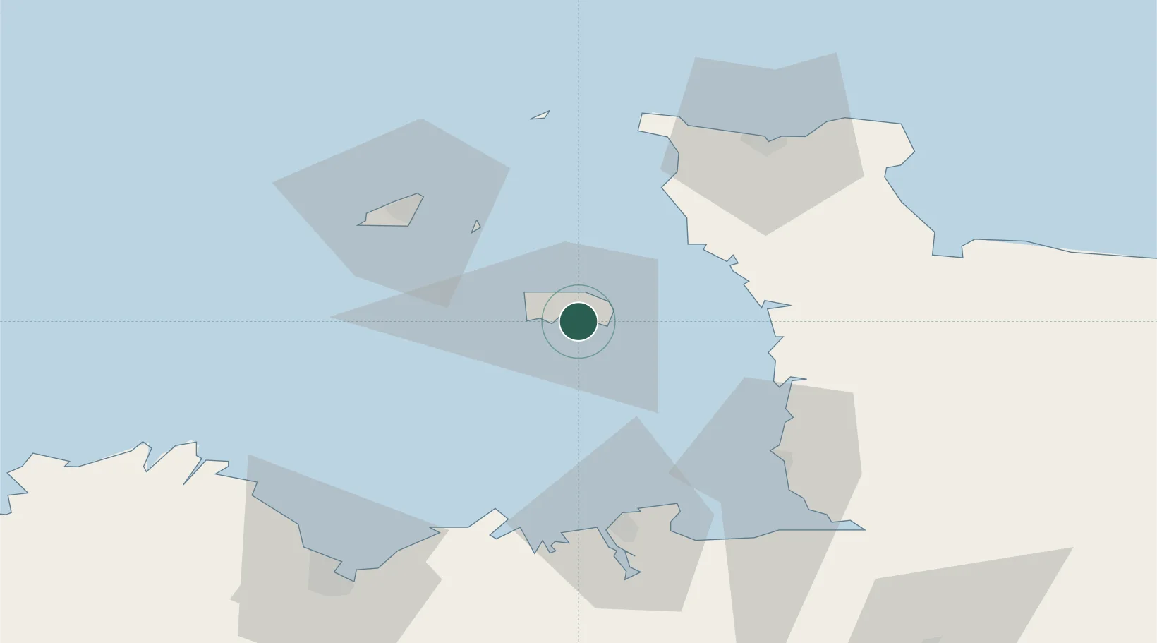
Location
Nearby Logistics Neighbours
Cities
- 1Saint Hélier0 km
- 2Saint Saviour2 km
- 3Saint Clement3 km
- 4Saint Aubin5 km
- 5Saint Brelade8 km
Ports
- 1Saint Helier Harbour1 km
- 2Saint Peter Port43 km
- 3Saint Sampson45 km
- 4Granville53 km
- 5Saint-Malo60 km
Airports
- 1Jersey Airport8 km
- 2Guernsey Airport46 km
- 3Granville Airport51 km
- 4Alderney Airport59 km
- 5Dinard Pleurtuit Saint-Malo airport66 km
Trade Zones
DatabookThe Record of Consolidated Knowledge
United Kingdom beyond logistics?