Transport Functions
Port
Road
Hub Profile
Place type
Populated place
Region
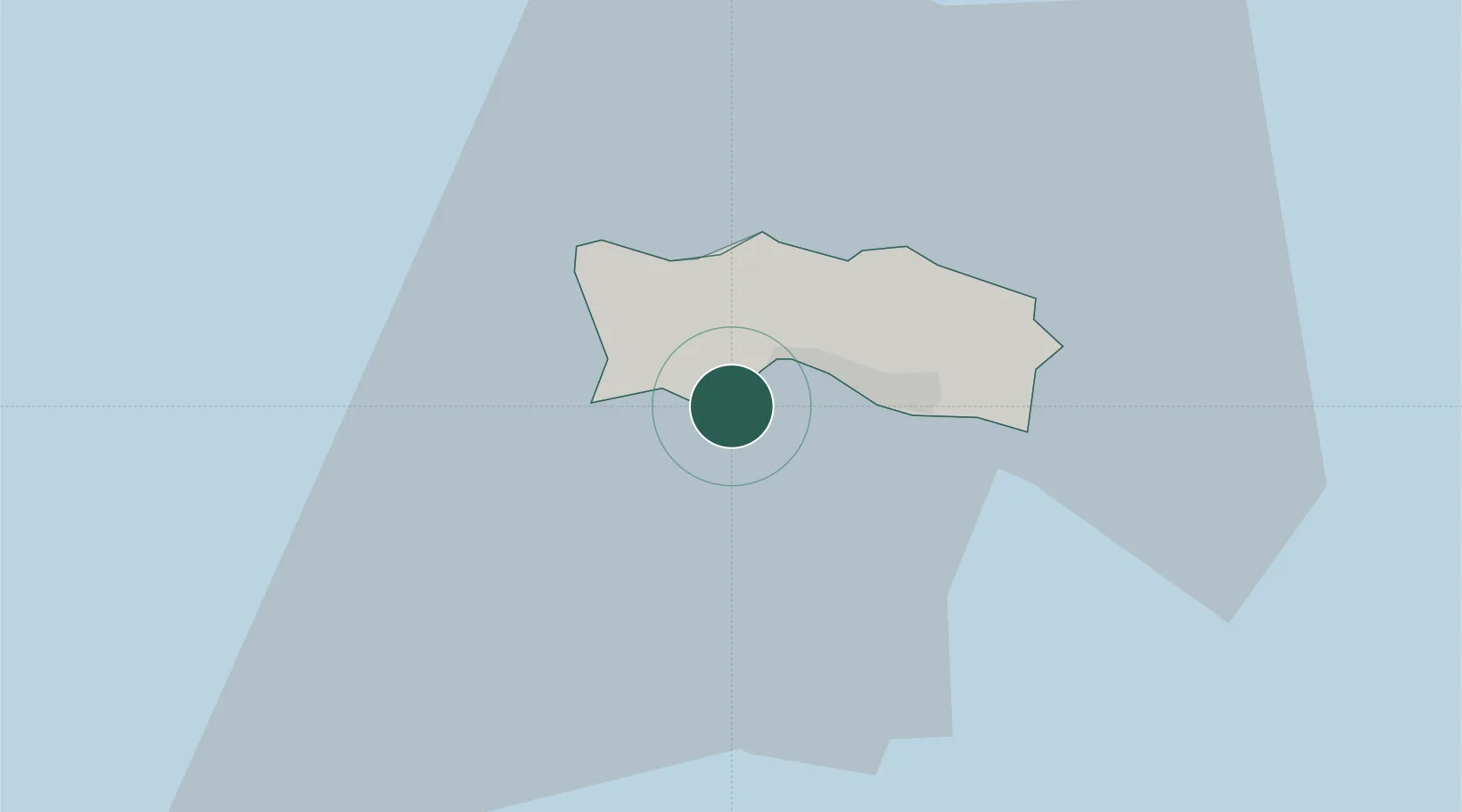
St. Brelade
Time zone
Europe/Jersey
Elevation
12 m
Location
Nearby Logistics Neighbours
Cities
- 1Saint Brelade3 km
- 2Saint Ouen4 km
- 3Saint Helier5 km
- 4Saint Hélier5 km
- 5Saint Saviour7 km
Ports
- 1Saint Helier Harbour4 km
- 2Saint Peter Port40 km
- 3Saint Sampson42 km
- 4Granville57 km
- 5Saint-Malo60 km
Airports
- 1Jersey Airport3 km
- 2Guernsey Airport42 km
- 3Granville Airport55 km
- 4Alderney Airport58 km
- 5Dinard Pleurtuit Saint-Malo airport67 km
Trade Zones
DatabookThe Record of Consolidated Knowledge
Jersey beyond logistics?