Transport Functions
Port
Fixed Transport
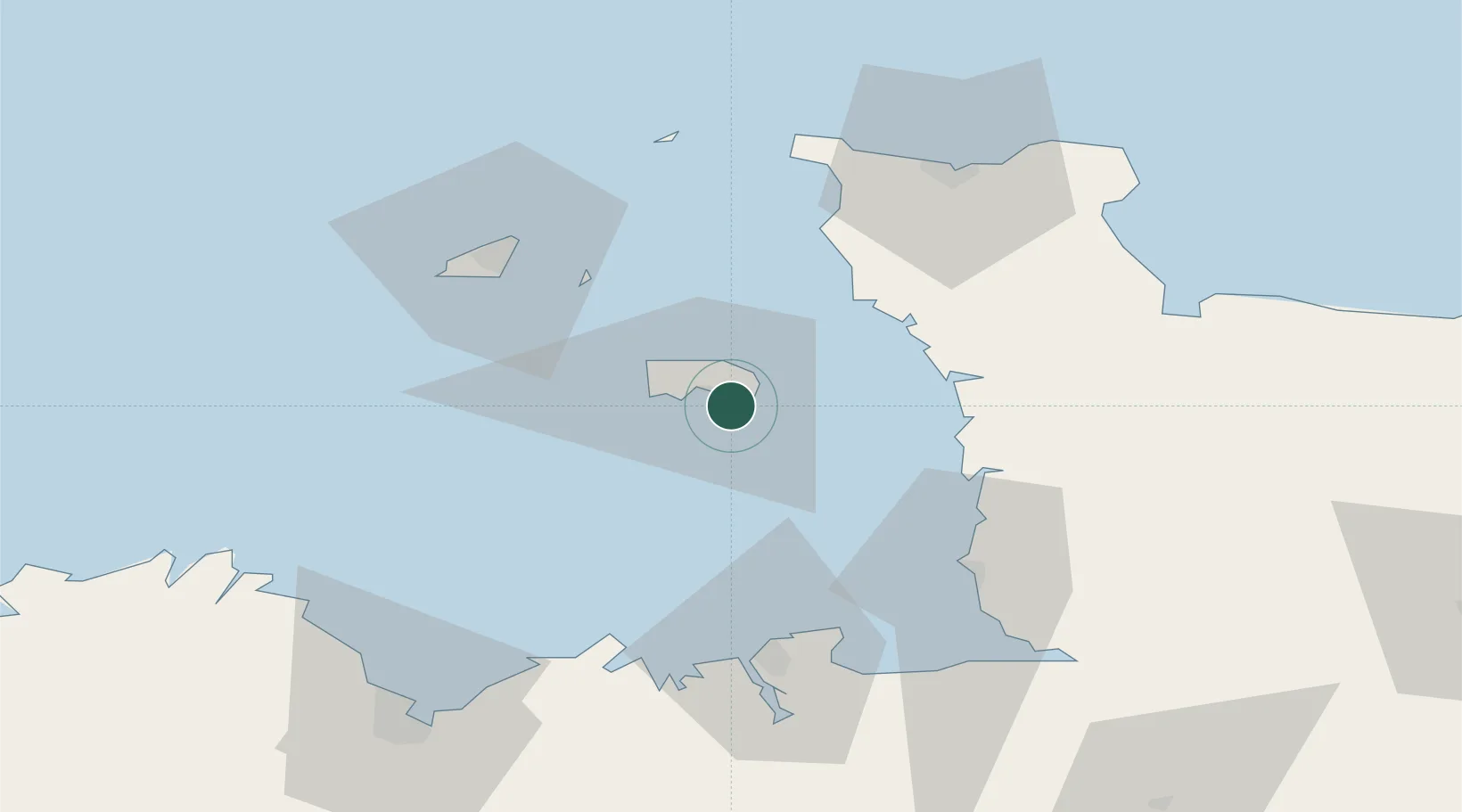
Location
Nearby Logistics Neighbours
Cities
- 1Saint Saviour2 km
- 2Saint Helier3 km
- 3Saint Hélier3 km
- 4Saint Aubin8 km
- 5Saint Brelade10 km
Ports
- 1Saint Helier Harbour4 km
- 2Saint Peter Port46 km
- 3Saint Sampson48 km
- 4Granville50 km
- 5Saint-Malo58 km
Airports
- 1Jersey Airport10 km
- 2Granville Airport48 km
- 3Guernsey Airport49 km
- 4Alderney Airport61 km
- 5Dinard Pleurtuit Saint-Malo airport64 km
Trade Zones
- 1ZFU Cherbourg-Octeville60 km
- 2ZFU La Guérinière, La Grâce de Dieu121 km
- 3ZFU Hérouville-Saint-Clair125 km
- 4Dorset Innovation Park169 km
- 5Southampton Free Zone199 km
DatabookThe Record of Consolidated Knowledge
Jersey beyond logistics?