Transport Functions
Multimodal
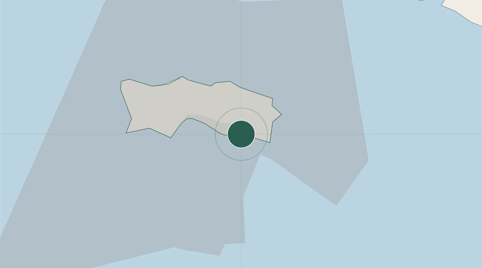
Location
Nearby Logistics Neighbours
Cities
- 1Saint Clement2 km
- 2Saint Helier2 km
- 3Saint Hélier2 km
- 4Saint Aubin7 km
- 5Saint Johns9 km
Ports
- 1Saint Helier Harbour4 km
- 2Saint Peter Port45 km
- 3Saint Sampson47 km
- 4Granville52 km
- 5Saint-Malo59 km
Airports
- 1Jersey Airport10 km
- 2Guernsey Airport48 km
- 3Granville Airport50 km
- 4Alderney Airport59 km
- 5Dinard Pleurtuit Saint-Malo airport66 km
Trade Zones
- 1ZFU Cherbourg-Octeville59 km
- 2ZFU La Guérinière, La Grâce de Dieu121 km
- 3ZFU Hérouville-Saint-Clair125 km
- 4Dorset Innovation Park167 km
- 5Southampton Free Zone197 km
DatabookThe Record of Consolidated Knowledge
Jersey beyond logistics?