Channel & Berth Profile
Pilotage, Tugs & Services
Pilotage availableYES
Diesel bunkersYES
MedicalYES
Facilities & Capabilities
Container—
Ro-RoYES
Liquid bulk—
Dry bulkYES
Oil terminal—
Break bulk—
Dry dock—
RepairsNO
BunkeringYES
Rail link—
Dangerous cargo—
ISPS securityYES
Harbour Specifications
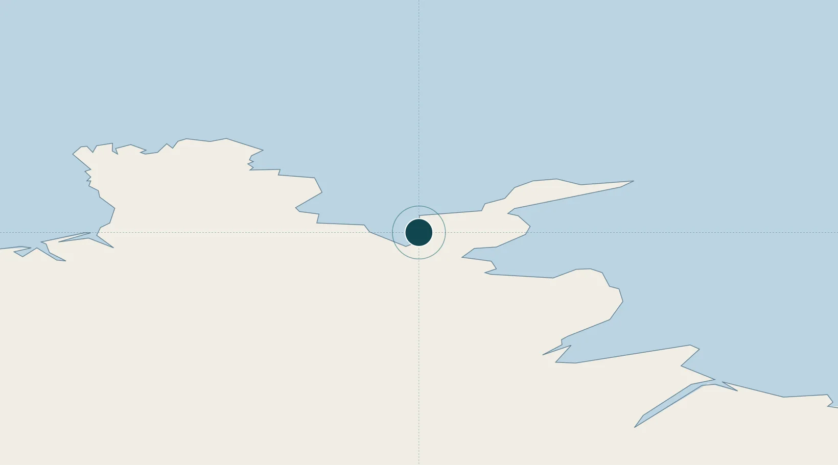
Harbour type
Coastal (Breakwater)
Water body
Greenland Sea; Arctic Ocean
Location
Nearby Logistics Neighbours
Ports
- 1Raufarhofn39 km
- 2Vopnafjordur55 km
- 3Husavik92 km
- 4Seydhisfjordhur120 km
- 5Grenivik132 km
Cities
- 1Bakkafjördur30 km
- 2Raufarhöfn39 km
- 3Vopnafjördur55 km
- 4Grenivík132 km
- 5Akureyri137 km
Airports
- 1Þórshöfn Airport2 km
- 2Vopnafjörður Airport58 km
- 3Mývatn Airport94 km
- 4Húsavík Airport98 km
- 5Egilsstaðir Airport111 km
Trade Zones
- 1Prestwick Airport Free Zone1319 km
- 2Carlisle Kingmoor Park Enterprise Zone1418 km
- 3North Eastern Enterprise Zone1449 km
- 4Isle of Man Free Zone and Business Park1466 km
- 5Tees Valley Enterprise Zone1498 km
DatabookThe Record of Consolidated Knowledge
Iceland beyond logistics?