Seaport · Iceland

VopnafjordurISVPN

65.7500°, -14.8167°
12.3
Port liner connectivity
Vopnafjordur is also a UN/LOCODE logistics hub →

Channel & Berth Profile

SEA LEVEL (CD)CHANNEL BEDAnchorage · 18.0 m
NGA World Port Index

Pilotage, Tugs & Services

Pilotage availableYES
Pilotage advisableYES
MedicalYES
NGA World Port Index

Facilities & Capabilities

Container
Ro-Ro
Liquid bulkYES
Dry bulk
Oil terminal
Break bulkYES
Dry dock
Repairs
BunkeringYES
Rail link
Dangerous cargo
ISPS securityYES
NGA World Port Index

Harbour Specifications

Water body
Norwegian Sea; North Atlantic Ocean
NGA World Port Index
Tidal range
1.3 m
NGA World Port Index

Liner Connectivity

12.3
PLSCI

Port Liner Shipping Connectivity Index for Vopnafjordur, as published by UNCTAD for the latest available quarter. Higher values indicate stronger scheduled liner-shipping integration.

Shown relative to the highest per-port PLSCI in the dataset (1,657.9).
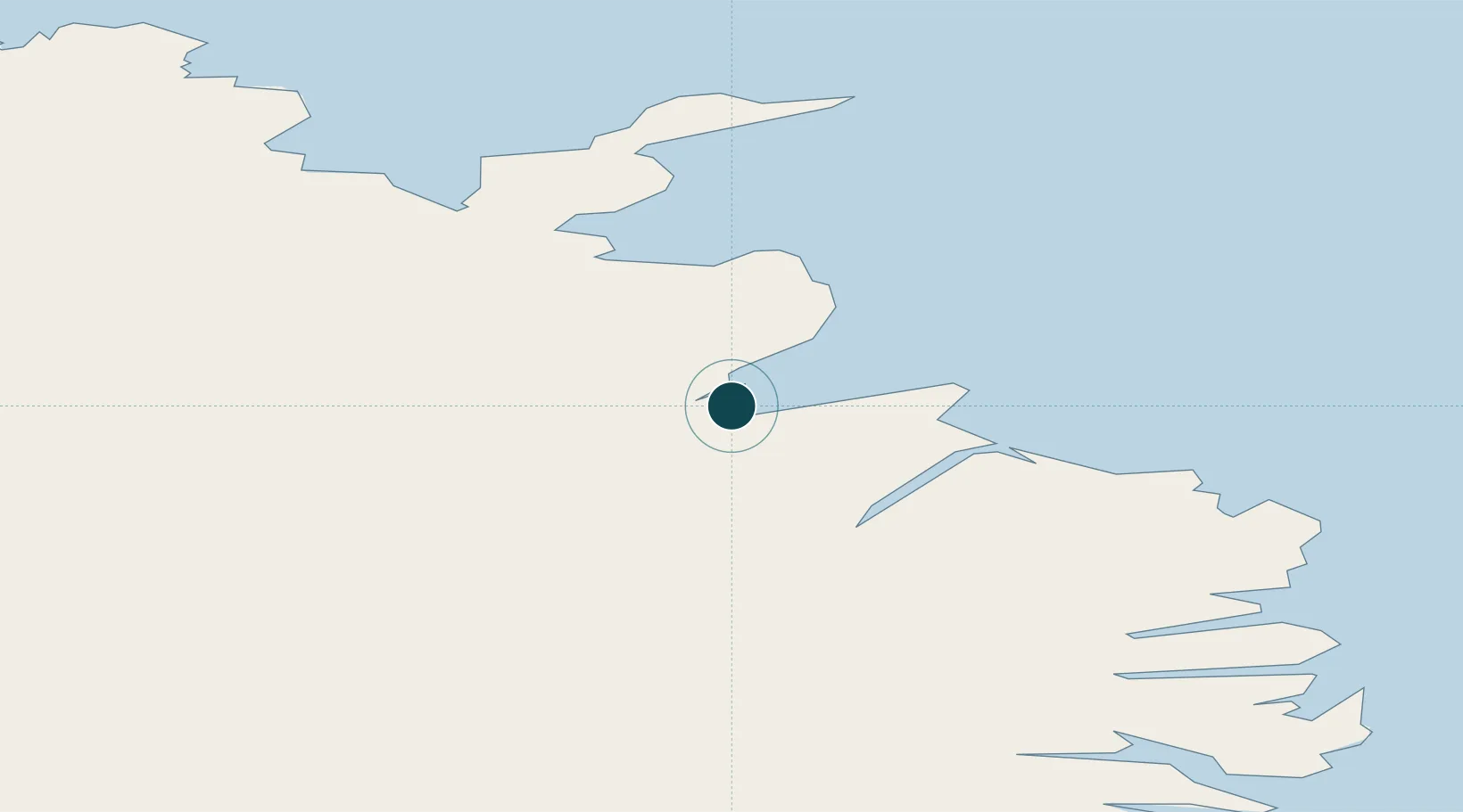
UNCTAD · Port Liner Shipping Connectivity Index

Location

Location of ISVPN
Natural Earth 10m (public domain) · Austurland · ISVPN · 65.75, -14.82GoogleOSMYandex

Nearby Logistics Neighbours

Ports
  1. 1Thorshofn55 km
  2. 2Seydhisfjordhur66 km
  3. 3Eskifjordhur85 km
  4. 4Neskaupstadur85 km
  5. 5Reydarfjordur86 km
Nearest neighbours — logibook spatial index (haversine) over the source coordinates
Cities
  1. 1Bakkafjördur32 km
  2. 2Raufarhöfn93 km
  3. 3Mjoeyrarhofn101 km
  4. 4Djúpivogur125 km
  5. 5Akureyri150 km
Nearest neighbours — logibook spatial index (haversine) over the source coordinates
Airports
  1. 1Vopnafjörður Airport4 km
  2. 2Egilsstaðir Airport55 km
  3. 3Þórshöfn Airport57 km
  4. 4Mývatn Airport97 km
  5. 5Húsavík Airport121 km
Nearest neighbours — logibook spatial index (haversine) over the source coordinates
Trade Zones
  1. 1Prestwick Airport Free Zone1264 km
  2. 2Carlisle Kingmoor Park Enterprise Zone1363 km
  3. 3Isle of Man Free Zone and Business Park1411 km
  4. 4Dublin International Financial Services Centre1458 km
  5. 5Blackpool Enterprise Zone1481 km
Nearest neighbours — logibook spatial index (haversine) over the source coordinates
DatabookThe Record of Consolidated Knowledge
Iceland beyond logistics?
Browse databook

All Sources

Portsthe NGA World Port Index
Public domain (US gov)
Logistics performanceUNCTAD
CC BY 3.0 IGO
AirportsOurAirports
Public domain
LocationsUN/LOCODE
UN/LOCODE — free
Trade Zonesthe World Bank SEZ database
CC BY 4.0
Trade ZonesOpen Zone Map
CC BY
← Iceland ports