Seaport · Iceland

HusavikISHUS

66.0333°, -17.3333°
7.9 m
Channel depth
11.1
Port liner connectivity

Channel & Berth Profile

SEA LEVEL (CD)CHANNEL BEDCargo pier · 6.4 mChannel · 7.9 mAnchorage · 23.2 m
NGA World Port Index

Pilotage, Tugs & Services

Pilotage compulsoryNO
Pilotage availableYES
Tug assistanceNO
Salvage tugsNO
Potable waterYES
Diesel bunkersYES
MedicalYES
NGA World Port Index

Facilities & Capabilities

ContainerYES
Ro-Ro
Liquid bulk
Dry bulk
Oil terminal
Break bulkYES
Dry dock
RepairsNO
BunkeringYES
Rail link
Dangerous cargo
ISPS securityYES
NGA World Port Index

Harbour Specifications

Harbour size
Very Small
NGA World Port Index
Harbour type
Coastal (Natural)
NGA World Port Index
Shelter
Poor
NGA World Port Index
Water body
Greenland Sea; Arctic Ocean
NGA World Port Index
Tidal range
1.2 m
NGA World Port Index
Overhead limit
No
NGA World Port Index
Pilotage
No
NGA World Port Index

Liner Connectivity

11.1
PLSCI

Port Liner Shipping Connectivity Index for Husavik, as published by UNCTAD for the latest available quarter. Higher values indicate stronger scheduled liner-shipping integration.

Shown relative to the highest per-port PLSCI in the dataset (1,657.9).
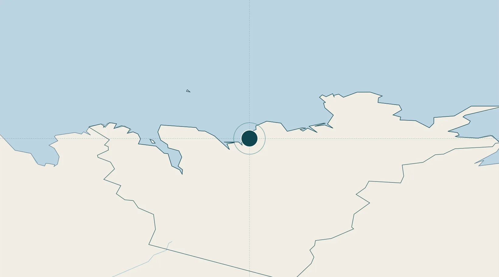
UNCTAD · Port Liner Shipping Connectivity Index

Location

Location of ISHUS
Natural Earth 10m (public domain) · Norðurland eystra · ISHUS · 66.03, -17.33GoogleOSMYandex

Nearby Logistics Neighbours

Ports
  1. 1Grenivik40 km
  2. 2Akureyri52 km
  3. 3Dalvik54 km
  4. 4Olafsfjordur60 km
  5. 5Siglufjorhurd73 km
Nearest neighbours — logibook spatial index (haversine) over the source coordinates
Cities
  1. 1Grenivík40 km
  2. 2Arskogssandur48 km
  3. 3Akureyri52 km
  4. 4Dalvík55 km
  5. 5Raufarhöfn77 km
Nearest neighbours — logibook spatial index (haversine) over the source coordinates
Airports
  1. 1Húsavík Airport10 km
  2. 2Mývatn Airport46 km
  3. 3Akureyri International Airport54 km
  4. 4Grímsey Airport65 km
  5. 5Siglufjörður Airport72 km
Nearest neighbours — logibook spatial index (haversine) over the source coordinates
Trade Zones
  1. 1Prestwick Airport Free Zone1353 km
  2. 2Carlisle Kingmoor Park Enterprise Zone1456 km
  3. 3Isle of Man Free Zone and Business Park1497 km
  4. 4Dublin International Financial Services Centre1536 km
  5. 5Shannon Free Zone1554 km
Nearest neighbours — logibook spatial index (haversine) over the source coordinates
DatabookThe Record of Consolidated Knowledge
Iceland beyond logistics?
Browse databook

All Sources

Portsthe NGA World Port Index
Public domain (US gov)
Logistics performanceUNCTAD
CC BY 3.0 IGO
AirportsOurAirports
Public domain
LocationsUN/LOCODE
UN/LOCODE — free
Trade Zonesthe World Bank SEZ database
CC BY 4.0
Trade ZonesOpen Zone Map
CC BY
← Iceland ports