Transport Functions
Port
Hub Profile
Place type
Regional capital
Region
Northeast
Population
19,219
Time zone
Atlantic/Reykjavik
Logistics facilities
1
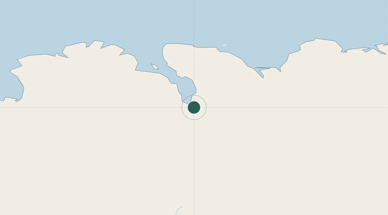
Location
Nearby Logistics Neighbours
Cities
- 1Grenivík30 km
- 2Arskogssandur31 km
- 3Dalvík37 km
- 4Hofsós66 km
- 5Skagaströnd103 km
Ports
- 1Grenivik30 km
- 2Dalvik39 km
- 3Olafsfjordur50 km
- 4Husavik52 km
- 5Siglufjorhurd64 km
Airports
- 1Akureyri International Airport3 km
- 2Húsavík Airport42 km
- 3Mývatn Airport54 km
- 4Siglufjörður Airport63 km
- 5Grímsey Airport96 km
Trade Zones
DatabookThe Record of Consolidated Knowledge
Iceland beyond logistics?