Seaport · Iceland

GrenivikISGRE

65.9500°, -18.1833°
Grenivik is also a UN/LOCODE logistics hub →

Channel & Berth Profile

SEA LEVEL (CD)CHANNEL BEDAnchorage · 18.0 m
NGA World Port Index

Pilotage, Tugs & Services

Diesel bunkersYES
NGA World Port Index

Facilities & Capabilities

Container
Ro-Ro
Liquid bulk
Dry bulk
Oil terminal
Break bulk
Dry dock
Repairs
BunkeringYES
Rail link
Dangerous cargo
ISPS security
NGA World Port Index

Harbour Specifications
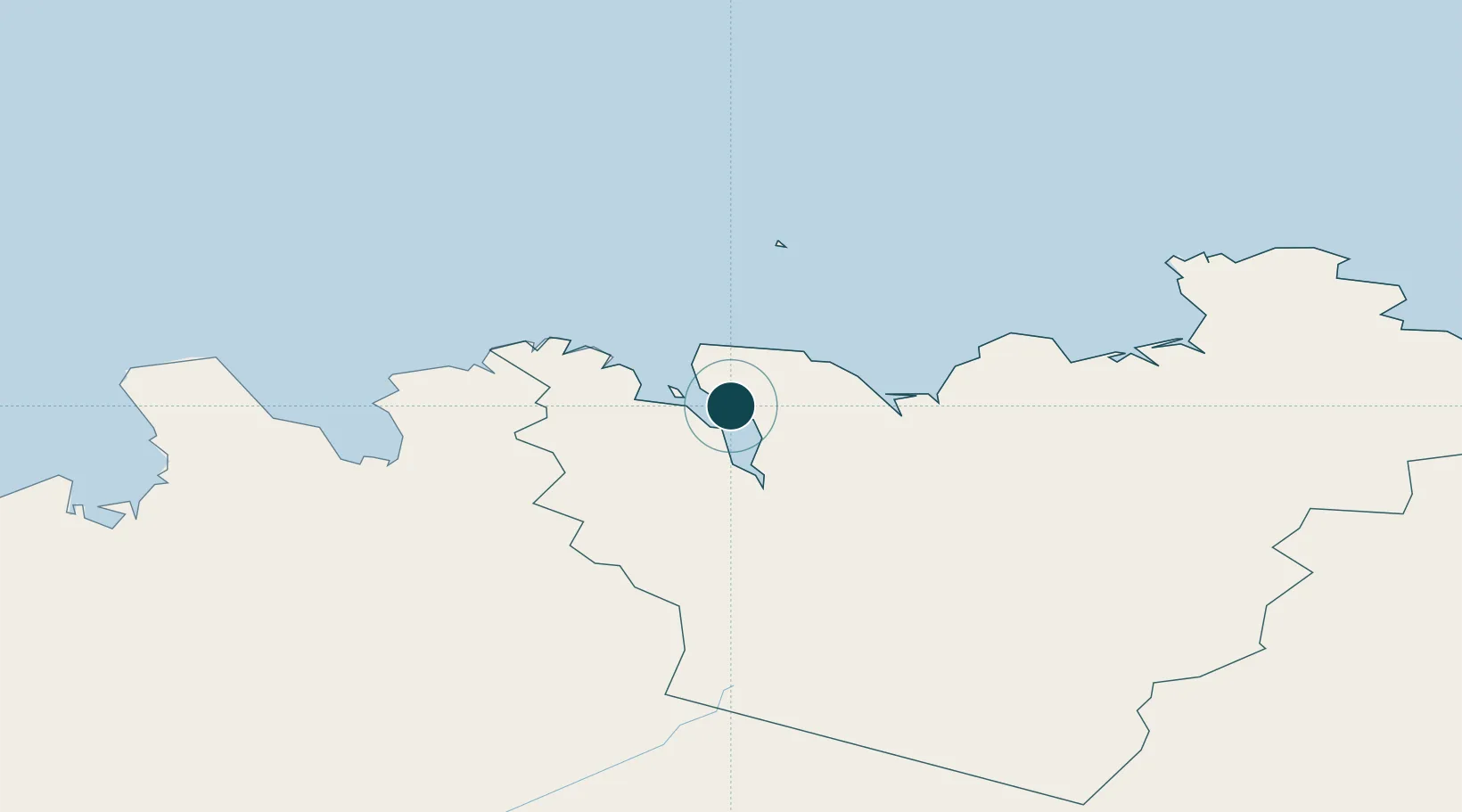
Water body
Greenland Sea; Arctic Ocean
NGA World Port Index

Location

Location of ISGRE
Natural Earth 10m (public domain) · Norðurland eystra · ISGRE · 65.95, -18.18GoogleOSMYandex

Nearby Logistics Neighbours

Ports
  1. 1Dalvik16 km
  2. 2Olafsfjordur25 km
  3. 3Akureyri30 km
  4. 4Husavik40 km
  5. 5Siglufjorhurd40 km
Nearest neighbours — logibook spatial index (haversine) over the source coordinates
Cities
  1. 1Arskogssandur9 km
  2. 2Dalvík16 km
  3. 3Akureyri30 km
  4. 4Hofsós57 km
  5. 5Skagaströnd98 km
Nearest neighbours — logibook spatial index (haversine) over the source coordinates
Airports
  1. 1Akureyri International Airport33 km
  2. 2Húsavík Airport34 km
  3. 3Siglufjörður Airport39 km
  4. 4Mývatn Airport66 km
  5. 5Grímsey Airport67 km
Nearest neighbours — logibook spatial index (haversine) over the source coordinates
Trade Zones
  1. 1Prestwick Airport Free Zone1369 km
  2. 2Carlisle Kingmoor Park Enterprise Zone1474 km
  3. 3Isle of Man Free Zone and Business Park1511 km
  4. 4Dublin International Financial Services Centre1547 km
  5. 5Shannon Free Zone1560 km
Nearest neighbours — logibook spatial index (haversine) over the source coordinates
DatabookThe Record of Consolidated Knowledge
Iceland beyond logistics?
Browse databook

All Sources

Portsthe NGA World Port Index
Public domain (US gov)
AirportsOurAirports
Public domain
LocationsUN/LOCODE
UN/LOCODE — free
Trade Zonesthe World Bank SEZ database
CC BY 4.0
Trade ZonesOpen Zone Map
CC BY
← Iceland ports