Transport Functions
Port
Airport
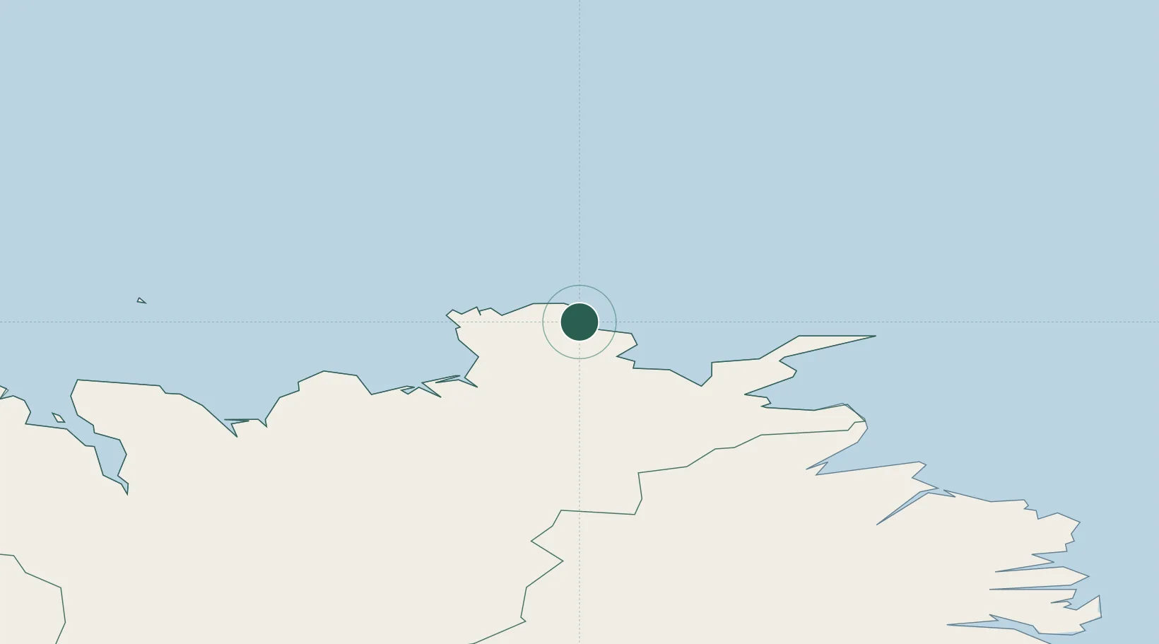
Location
Nearby Logistics Neighbours
Cities
- 1Bakkafjördur69 km
- 2Vopnafjördur93 km
- 3Grenivík115 km
- 4Arskogssandur123 km
- 5Dalvík128 km
Ports
- 1Thorshofn39 km
- 2Husavik77 km
- 3Vopnafjordur93 km
- 4Grenivik115 km
- 5Dalvik126 km
Airports
- 1Þórshöfn Airport38 km
- 2Húsavík Airport86 km
- 3Grímsey Airport92 km
- 4Vopnafjörður Airport95 km
- 5Mývatn Airport99 km
Trade Zones
- 1Prestwick Airport Free Zone1357 km
- 2Carlisle Kingmoor Park Enterprise Zone1456 km
- 3North Eastern Enterprise Zone1488 km
- 4Isle of Man Free Zone and Business Park1504 km
- 5Tees Valley Enterprise Zone1537 km
DatabookThe Record of Consolidated Knowledge
Iceland beyond logistics?