Transport Functions
Port
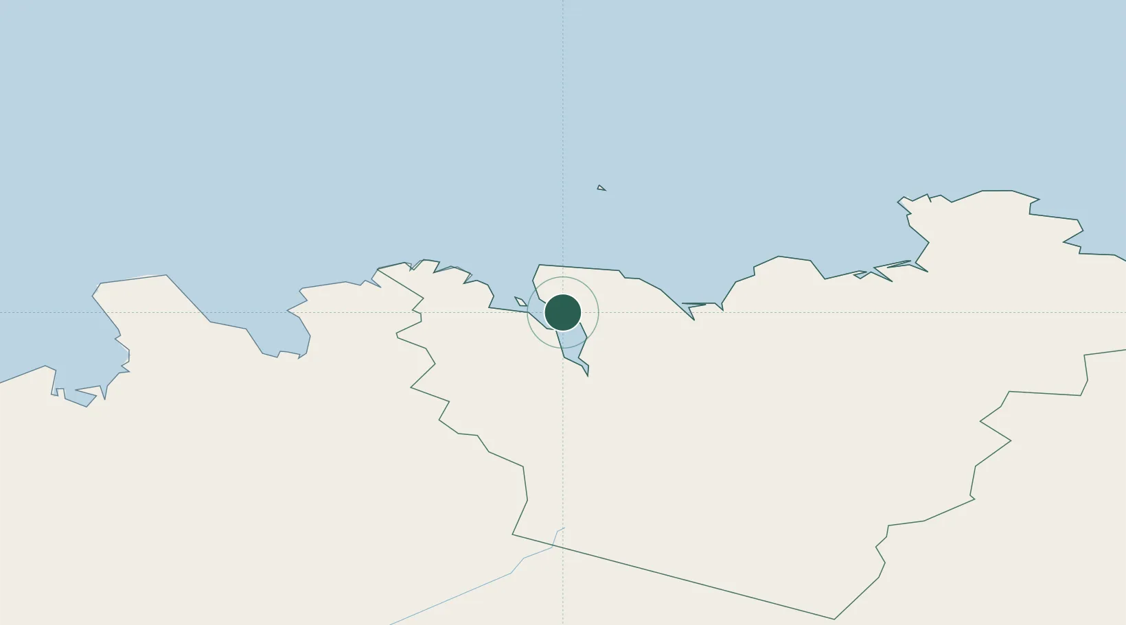
Hub Profile
Place type
Populated place
Region
Northeast
Population
278
Time zone
Atlantic/Reykjavik
Elevation
82 m
Location
Nearby Logistics Neighbours
Cities
- 1Arskogssandur9 km
- 2Dalvík16 km
- 3Akureyri30 km
- 4Hofsós57 km
- 5Skagaströnd98 km
Ports
- 1Dalvik16 km
- 2Olafsfjordur25 km
- 3Akureyri30 km
- 4Husavik40 km
- 5Siglufjorhurd40 km
Airports
- 1Akureyri International Airport33 km
- 2Húsavík Airport34 km
- 3Siglufjörður Airport39 km
- 4Mývatn Airport66 km
- 5Grímsey Airport67 km
Trade Zones
DatabookThe Record of Consolidated Knowledge
Iceland beyond logistics?