Channel & Berth Profile
Pilotage, Tugs & Services
Pilotage compulsoryNO
Pilotage availableYES
Potable waterYES
Diesel bunkersYES
MedicalYES
Garbage disposalYES
Facilities & Capabilities
Container—
Ro-Ro—
Liquid bulk—
Dry bulk—
Oil terminal—
Break bulkYES
Dry dock—
RepairsNO
BunkeringYES
Rail link—
Dangerous cargo—
ISPS security—
Harbour Specifications
Water body
Greenland Sea; Arctic Ocean
Tidal range
1.4 m
Pilotage
No
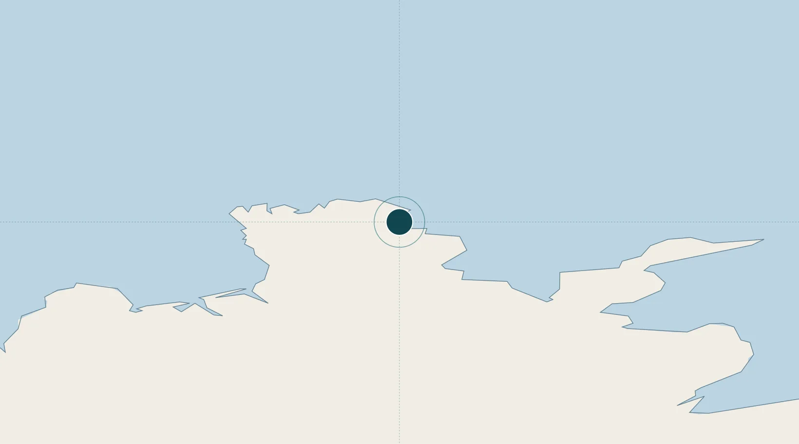
Location
Nearby Logistics Neighbours
Ports
- 1Thorshofn39 km
- 2Husavik78 km
- 3Vopnafjordur93 km
- 4Grenivik115 km
- 5Dalvik127 km
Cities
- 1Bakkafjördur69 km
- 2Vopnafjördur92 km
- 3Grenivík115 km
- 4Arskogssandur123 km
- 5Dalvík128 km
Airports
- 1Þórshöfn Airport37 km
- 2Húsavík Airport87 km
- 3Grímsey Airport93 km
- 4Vopnafjörður Airport95 km
- 5Mývatn Airport99 km
Trade Zones
- 1Prestwick Airport Free Zone1356 km
- 2Carlisle Kingmoor Park Enterprise Zone1456 km
- 3North Eastern Enterprise Zone1488 km
- 4Isle of Man Free Zone and Business Park1504 km
- 5Tees Valley Enterprise Zone1536 km
DatabookThe Record of Consolidated Knowledge
Iceland beyond logistics?