Transport Functions
Port
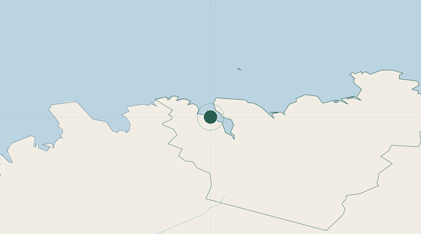
Location
Nearby Logistics Neighbours
Cities
- 1Dalvík8 km
- 2Grenivík9 km
- 3Akureyri31 km
- 4Hofsós49 km
- 5Skagaströnd89 km
Ports
- 1Grenivik9 km
- 2Dalvik9 km
- 3Olafsfjordur20 km
- 4Akureyri31 km
- 5Siglufjorhurd35 km
Airports
- 1Siglufjörður Airport33 km
- 2Akureyri International Airport34 km
- 3Húsavík Airport43 km
- 4Grímsey Airport70 km
- 5Mývatn Airport73 km
Trade Zones
DatabookThe Record of Consolidated Knowledge
Iceland beyond logistics?