Transport Functions
Port
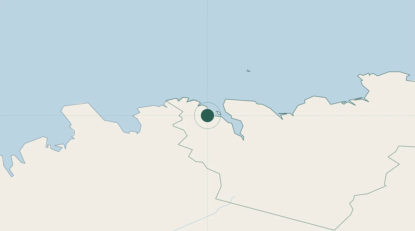
Hub Profile
Place type
Populated place
Region
Northeast
Population
1,359
Time zone
Atlantic/Reykjavik
Elevation
40 m
Location
Nearby Logistics Neighbours
Cities
- 1Arskogssandur8 km
- 2Grenivík16 km
- 3Akureyri37 km
- 4Hofsós42 km
- 5Skagaströnd82 km
Ports
- 1Olafsfjordur12 km
- 2Grenivik16 km
- 3Siglufjorhurd27 km
- 4Akureyri38 km
- 5Husavik55 km
Airports
- 1Siglufjörður Airport26 km
- 2Akureyri International Airport40 km
- 3Húsavík Airport50 km
- 4Grímsey Airport68 km
- 5Mývatn Airport81 km
Trade Zones
DatabookThe Record of Consolidated Knowledge
Iceland beyond logistics?