Medium airport · Iran

Aghajari AirportOIAG
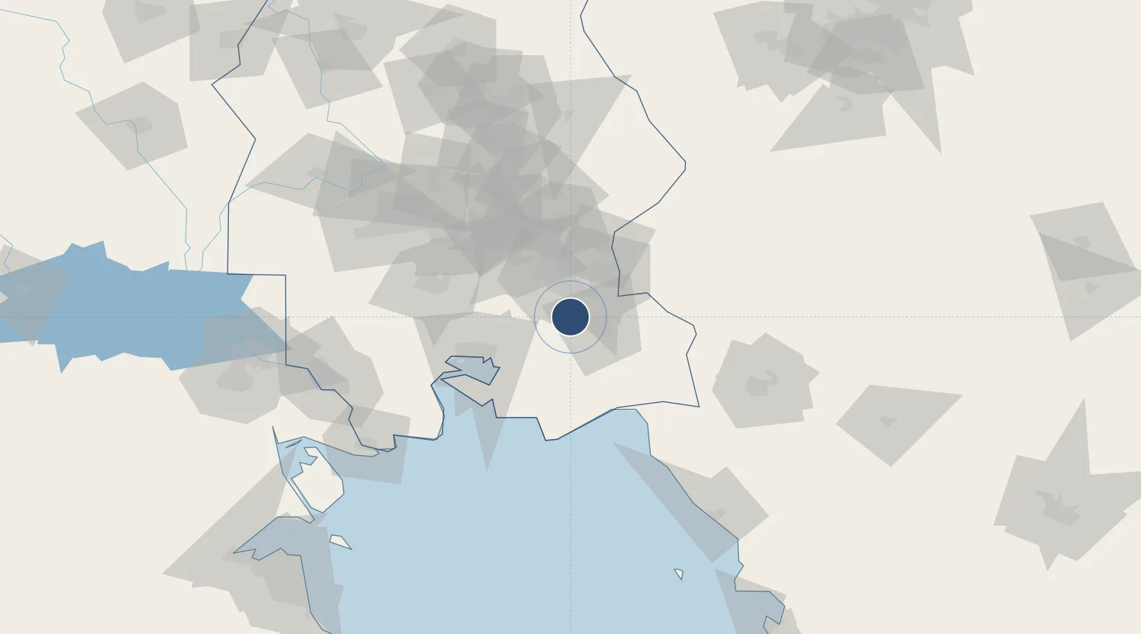
30.7444°, 49.6772°
6,933 ft
Longest runway
1
Runways
88 ft
Elevation

Runway & Layout

Aghajari Airport runway & taxiway layout
Runway & taxiway layout — OpenStreetMap (ODbL) / OurAirports

Radio Frequencies

AFIS
122.1 MHz
INFO
OurAirports

Navaids

AJ NDB Aghajari 365 kHz
OurAirports

Runways · 1

RunwayDimensions SurfaceTrue headingLit
13/31 6,933 × 148ft Asphalt 136°
OurAirports

Airport Specifications

IATA code
AKW
OurAirports
ICAO code
OIAG
OurAirports
Airport class
Medium airport
OurAirports
Scheduled service
No
OurAirports
Runway surface
Asphalt
OurAirports
Served city
Aghajari
OurAirports

Location

Location of OIAG
Natural Earth 10m (public domain) · Khuzestan · OIAG · 30.74, 49.68GoogleOSMYandex

Nearby Logistics Neighbours

Airports
  1. 1Mahshahr Airport54 km
  2. 2Qasem Soleimani International Airport109 km
  3. 3Gachsaran Airport120 km
  4. 4Abadan Ayatollah Jami International Airport145 km
  5. 5Shahid Asiyaee Airport145 km
Nearest neighbours — logibook spatial index (haversine) over the source coordinates
Cities
  1. 1Bandar Mashur52 km
  2. 2Bandar-e Måh Shahr54 km
  3. 3Bandar-e Emam Khomeyni65 km
  4. 4Bandar Khomeini65 km
  5. 5Imam Khomeini Pt/ Mahshahr City69 km
Nearest neighbours — logibook spatial index (haversine) over the source coordinates
Ports
  1. 1Bandar-E Mahshahr57 km
  2. 2Bandar Khomeyni67 km
  3. 3Khawr Al Amaya136 km
  4. 4Abadan141 km
  5. 5Al-Basra Oil Terminal144 km
Nearest neighbours — logibook spatial index (haversine) over the source coordinates
Trade Zones
  1. 1Petrochemical Special Economic Zone64 km
  2. 2Imam Khomeini Port68 km
  3. 3Bushehr Northern Special Economic Zone119 km
  4. 4Arvand Trade Industrial Free Zone146 km
  5. 5Shahrekord ShahrKord Special Economic Zone207 km
Nearest neighbours — logibook spatial index (haversine) over the source coordinates
DatabookThe Record of Consolidated Knowledge
Iran beyond logistics?
Browse databook

All Sources

AirportsOurAirports
Public domain
Portsthe NGA World Port Index
Public domain (US gov)
LocationsUN/LOCODE
UN/LOCODE — free
Trade Zonesthe World Bank SEZ database
CC BY 4.0
Trade ZonesOpen Zone Map
CC BY
InfrastructureOpenStreetMap
ODbL 1.0
← Iran airports