UN/LOCODE hub · Iraq
IQMAB

Basrah Oil Terminal

29.7500°, 48.8333°
1
Transport functions

Transport Functions

Port
Basrah Oil Terminal is also a profiled seaport →
UN/LOCODE

Hub Profile

Region
BA
GeoNames

Location

Location of IQMAB
Natural Earth 10m (public domain) · BA · IQMAB · 29.75, 48.83GoogleOSMYandex

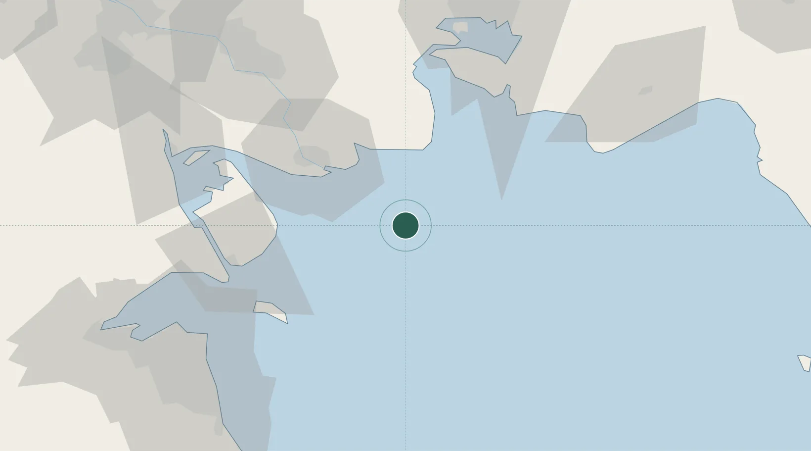
Nearby Logistics Neighbours

Cities
  1. 1Imam Khomeini Pt/ Mahshahr City78 km
  2. 2Bandar-e Emam Khomeyni80 km
  3. 3Bandar Khomeini80 km
  4. 4Ra's al Ard85 km
  5. 5As Salimiyah86 km
Nearest neighbours — logibook spatial index (haversine) over the source coordinates
Ports
  1. 1Khawr Al Amaya5 km
  2. 2Bandar Khomeyni80 km
  3. 3Abadan84 km
  4. 4Bandar-E Mahshahr87 km
  5. 5Umm Qasr90 km
Nearest neighbours — logibook spatial index (haversine) over the source coordinates
Airports
  1. 1Abadan Ayatollah Jami International Airport90 km
  2. 2Mahshahr Airport95 km
  3. 3Kuwait International Airport102 km
  4. 4Ali Al Salem Air Base136 km
  5. 5Ahmed Al Jaber Air Base136 km
Nearest neighbours — logibook spatial index (haversine) over the source coordinates
Trade Zones
  1. 1Imam Khomeini Port81 km
  2. 2Petrochemical Special Economic Zone84 km
  3. 3Arvand Trade Industrial Free Zone93 km
  4. 4Kuwait Free Trade Zone100 km
  5. 5Al Naim (Al Shegaya) Free Economic Zone120 km
Nearest neighbours — logibook spatial index (haversine) over the source coordinates
DatabookThe Record of Consolidated Knowledge
Iraq beyond logistics?
Browse databook

All Sources

LocationsUN/LOCODE
UN/LOCODE — free
Portsthe NGA World Port Index
Public domain (US gov)
AirportsOurAirports
Public domain
Trade Zonesthe World Bank SEZ database
CC BY 4.0
Trade ZonesOpen Zone Map
CC BY
← Iraq locations