Medium airport · Iran

Mahshahr AirportOIAM
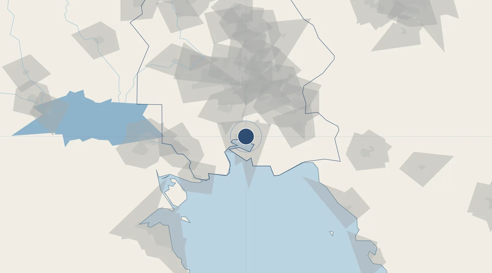
30.5562°, 49.1519°
8,874 ft
Longest runway
1
Runways
8 ft
Elevation

Runway & Layout

Mahshahr Airport runway & taxiway layout
Runway & taxiway layout — OpenStreetMap (ODbL) / OurAirports

Radio Frequencies

TWR
118.65 MHz
ATIS
OurAirports

Navaids

MAH VOR-DME Mahshahr 115.80 MHz
OurAirports

Runways · 1

RunwayDimensions SurfaceTrue headingLit
14/32 8,874 × 148ft Asphalt 137°
OurAirports

Airport Specifications

IATA code
MRX
OurAirports
ICAO code
OIAM
OurAirports
Airport class
Medium airport
OurAirports
Scheduled service
Yes
OurAirports
Runway surface
Asphalt
OurAirports
Served city
Mahshahr
OurAirports

Location

Location of OIAM
Natural Earth 10m (public domain) · Khuzestan · OIAM · 30.56, 49.15GoogleOSMYandex

Nearby Logistics Neighbours

Airports
  1. 1Aghajari Airport54 km
  2. 2Abadan Ayatollah Jami International Airport91 km
  3. 3Qasem Soleimani International Airport94 km
  4. 4Basra International Airport143 km
  5. 5Shahid Asiyaee Airport161 km
Nearest neighbours — logibook spatial index (haversine) over the source coordinates
Cities
  1. 1Bandar-e Måh Shahr3 km
  2. 2Bandar Mashur3 km
  3. 3Bandar-e Emam Khomeyni15 km
  4. 4Bandar Khomeini15 km
  5. 5Imam Khomeini Pt/ Mahshahr City18 km
Nearest neighbours — logibook spatial index (haversine) over the source coordinates
Ports
  1. 1Bandar-E Mahshahr10 km
  2. 2Bandar Khomeyni15 km
  3. 3Abadan87 km
  4. 4Khawr Al Amaya92 km
  5. 5Khorramshahr94 km
Nearest neighbours — logibook spatial index (haversine) over the source coordinates
Trade Zones
  1. 1Petrochemical Special Economic Zone11 km
  2. 2Imam Khomeini Port15 km
  3. 3Arvand Trade Industrial Free Zone92 km
  4. 4Bushehr Northern Special Economic Zone143 km
  5. 5Al Abdali Free Economic Zone168 km
Nearest neighbours — logibook spatial index (haversine) over the source coordinates
DatabookThe Record of Consolidated Knowledge
Iran beyond logistics?
Browse databook

All Sources

AirportsOurAirports
Public domain
Portsthe NGA World Port Index
Public domain (US gov)
LocationsUN/LOCODE
UN/LOCODE — free
Trade Zonesthe World Bank SEZ database
CC BY 4.0
Trade ZonesOpen Zone Map
CC BY
InfrastructureOpenStreetMap
ODbL 1.0
← Iran airports