Transport Functions
Port
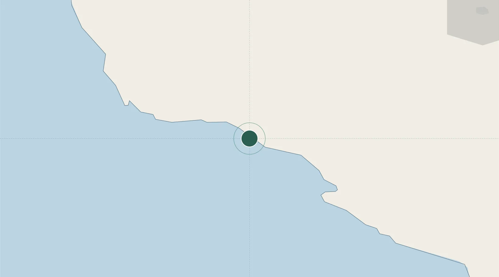
Location
Nearby Logistics Neighbours
Cities
- 1Tombak3 km
- 2Dayyer24 km
- 3Asaluyeh53 km
- 4Bandare Parsian97 km
- 5Al Shaheen132 km
Ports
- 1Al Shaheen Terminal129 km
- 2Al Rayyan Terminal134 km
- 3Jazireh-Ye Lavan Oil Terminal158 km
- 4Bushehr190 km
- 5Ras Laffan210 km
Airports
- 1Jam Airport22 km
- 2Persian Gulf International Airport70 km
- 3Lamerd Airport110 km
- 4Lavan Airport157 km
- 5Bushehr Airport186 km
DatabookThe Record of Consolidated Knowledge
Iran beyond logistics?