Transport Functions
Port
Hub Profile
Place type
Populated place
Region
Chhattisgarh
Time zone
Asia/Kolkata
Elevation
355 m
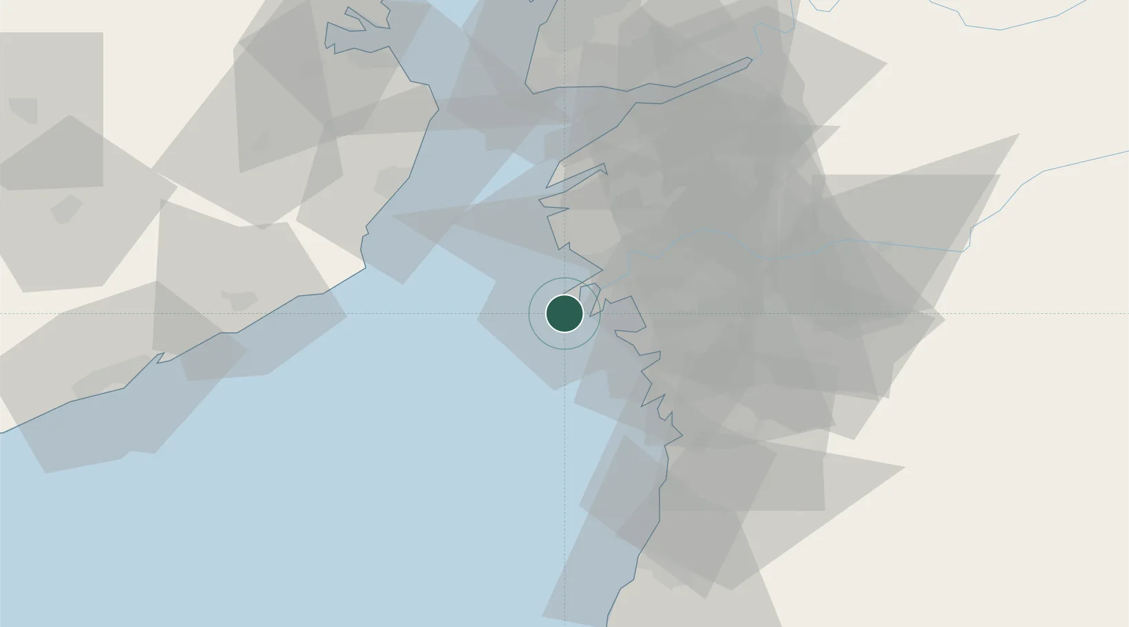
Location
Nearby Logistics Neighbours
Cities
- 1Hazira Port/Surat7 km
- 2Surat8 km
- 3Kril ICD13 km
- 4SHB ICD/Surat20 km
- 5Sap-SEZ/Surat23 km
Ports
- 1Hazira0 km
- 2Magdalla14 km
- 3Dahej69 km
- 4Bhavnagar87 km
- 5Pipavav Bandar117 km
Airports
- 1Surat International Airport12 km
- 2Daman Airport75 km
- 3Bhavnagar Airport88 km
- 4Vadodara International Airport152 km
- 5Nashik International Airport171 km
Trade Zones
- 1Gujarat Hira Bourse16 km
- 2Surat Special Economic Zone24 km
- 3Surat Apparel Park27 km
- 4HBS Pharma SEZ Private Limited, Bharuch61 km
- 5Dahej SEZ Ltd.70 km
DatabookThe Record of Consolidated Knowledge
India beyond logistics?