UN/LOCODE hub · India
INKBC

Kril ICD

21.1833°, 72.7000°
3
Transport functions

Transport Functions

Rail
Road
Multimodal
UN/LOCODE

Hub Profile

Region
GJ
GeoNames

Location

Location of INKBC
Natural Earth 10m (public domain) · GJ · INKBC · 21.18, 72.70GoogleOSMYandex

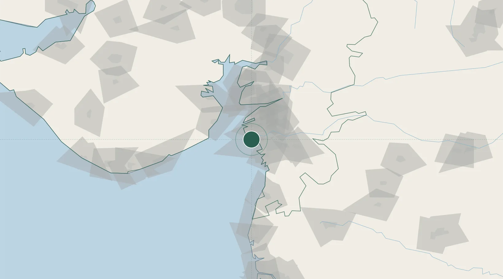
Nearby Logistics Neighbours

Cities
  1. 1Surat6 km
  2. 2Hazira Port/Surat7 km
  3. 3SHB ICD/Surat13 km
  4. 4Gandhar13 km
  5. 5Sap-SEZ/Surat14 km
Nearest neighbours — logibook spatial index (haversine) over the source coordinates
Ports
  1. 1Magdalla6 km
  2. 2Hazira13 km
  3. 3Dahej60 km
  4. 4Bhavnagar81 km
  5. 5Pipavav Bandar126 km
Nearest neighbours — logibook spatial index (haversine) over the source coordinates
Airports
  1. 1Surat International Airport9 km
  2. 2Bhavnagar Airport83 km
  3. 3Daman Airport85 km
  4. 4Vadodara International Airport139 km
  5. 5Nashik International Airport173 km
Nearest neighbours — logibook spatial index (haversine) over the source coordinates
Trade Zones
  1. 1Gujarat Hira Bourse4 km
  2. 2Surat Special Economic Zone21 km
  3. 3Surat Apparel Park23 km
  4. 4HBS Pharma SEZ Private Limited, Bharuch48 km
  5. 5Dahej SEZ Ltd.60 km
Nearest neighbours — logibook spatial index (haversine) over the source coordinates
DatabookThe Record of Consolidated Knowledge
India beyond logistics?
Browse databook

All Sources

LocationsUN/LOCODE
UN/LOCODE — free
Portsthe NGA World Port Index
Public domain (US gov)
AirportsOurAirports
Public domain
Trade Zonesthe World Bank SEZ database
CC BY 4.0
Trade ZonesOpen Zone Map
CC BY
← India locations