Large airport · India

Nashik International AirportVAOZ
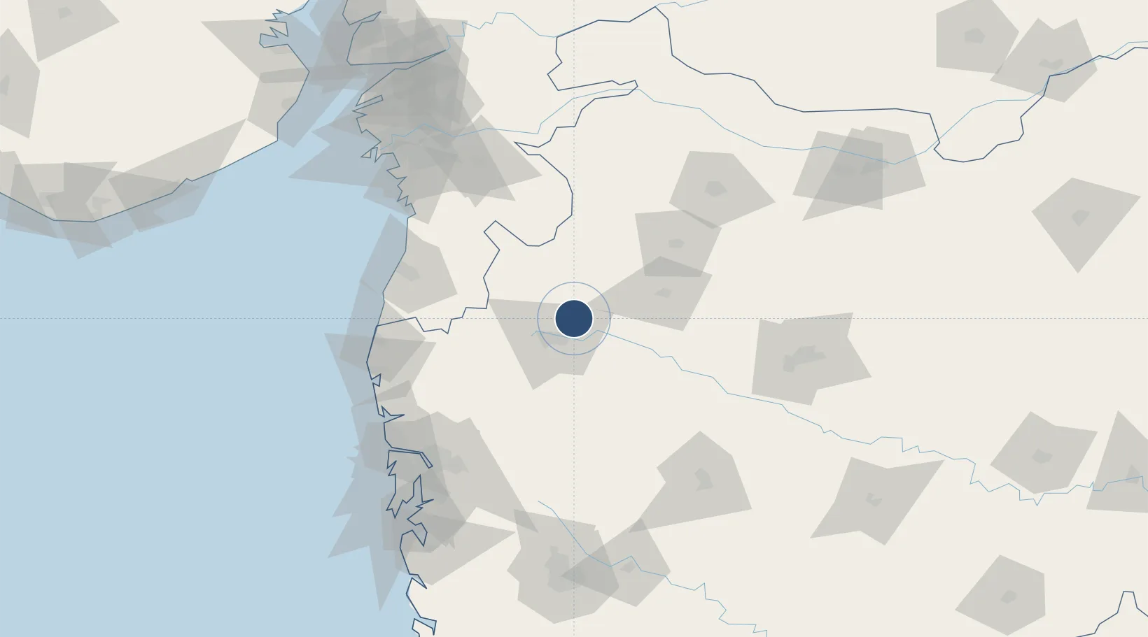
20.1191°, 73.9129°
9,843 ft
Longest runway
1
Runways
1,900 ft
Elevation

Runway & Layout

Nashik International Airport runway & taxiway layout
Runway & taxiway layout — OpenStreetMap (ODbL) / OurAirports

Radio Frequencies

TWR
123.5 MHz
APP
122.7 MHz
OurAirports

Runways · 1

RunwayDimensions SurfaceTrue headingLit
09/27 9,843 × 148ft CON/ASP 085°
OurAirports

Airport Specifications

IATA code
ISK
OurAirports
ICAO code
VAOZ
OurAirports
Airport class
Large airport
OurAirports
Scheduled service
Yes
OurAirports
Runway surface
CON/ASP
OurAirports
Served city
Nashik
OurAirports

Location

Location of VAOZ
Natural Earth 10m (public domain) · Maharashtra · VAOZ · 20.12, 73.91GoogleOSMYandex

Nearby Logistics Neighbours

Airports
  1. 1Shirdi International Airport68 km
  2. 2Daman Airport117 km
  3. 3Navi Mumbai International Airport154 km
  4. 4Aurangabad Airport158 km
  5. 5Chhatrapati Shivaji Maharaj International Airport159 km
Nearest neighbours — logibook spatial index (haversine) over the source coordinates
Cities
  1. 1Nasik19 km
  2. 2Sinnar31 km
  3. 3Eon SEZ/Kharadi81 km
  4. 4Shahapur96 km
  5. 5Vapi105 km
Nearest neighbours — logibook spatial index (haversine) over the source coordinates
Ports
  1. 1Jawaharlal Nehru Port (Nhava Shiva)165 km
  2. 2Magdalla167 km
  3. 3Mumbai (Bombay)169 km
  4. 4Hazira171 km
  5. 5Dahej227 km
Nearest neighbours — logibook spatial index (haversine) over the source coordinates
Trade Zones
  1. 1Meditab Specialities Private Limited142 km
  2. 2Serene Properties Pvt. Ltd143 km
  3. 3K. Raheja Universal Private Limited148 km
  4. 4Surat Apparel Park151 km
  5. 5Bajaj Auto Limited152 km
Nearest neighbours — logibook spatial index (haversine) over the source coordinates
DatabookThe Record of Consolidated Knowledge
India beyond logistics?
Browse databook

All Sources

AirportsOurAirports
Public domain
Portsthe NGA World Port Index
Public domain (US gov)
LocationsUN/LOCODE
UN/LOCODE — free
Trade Zonesthe World Bank SEZ database
CC BY 4.0
Trade ZonesOpen Zone Map
CC BY
InfrastructureOpenStreetMap
ODbL 1.0
← India airports