Transport Functions
Port
Road
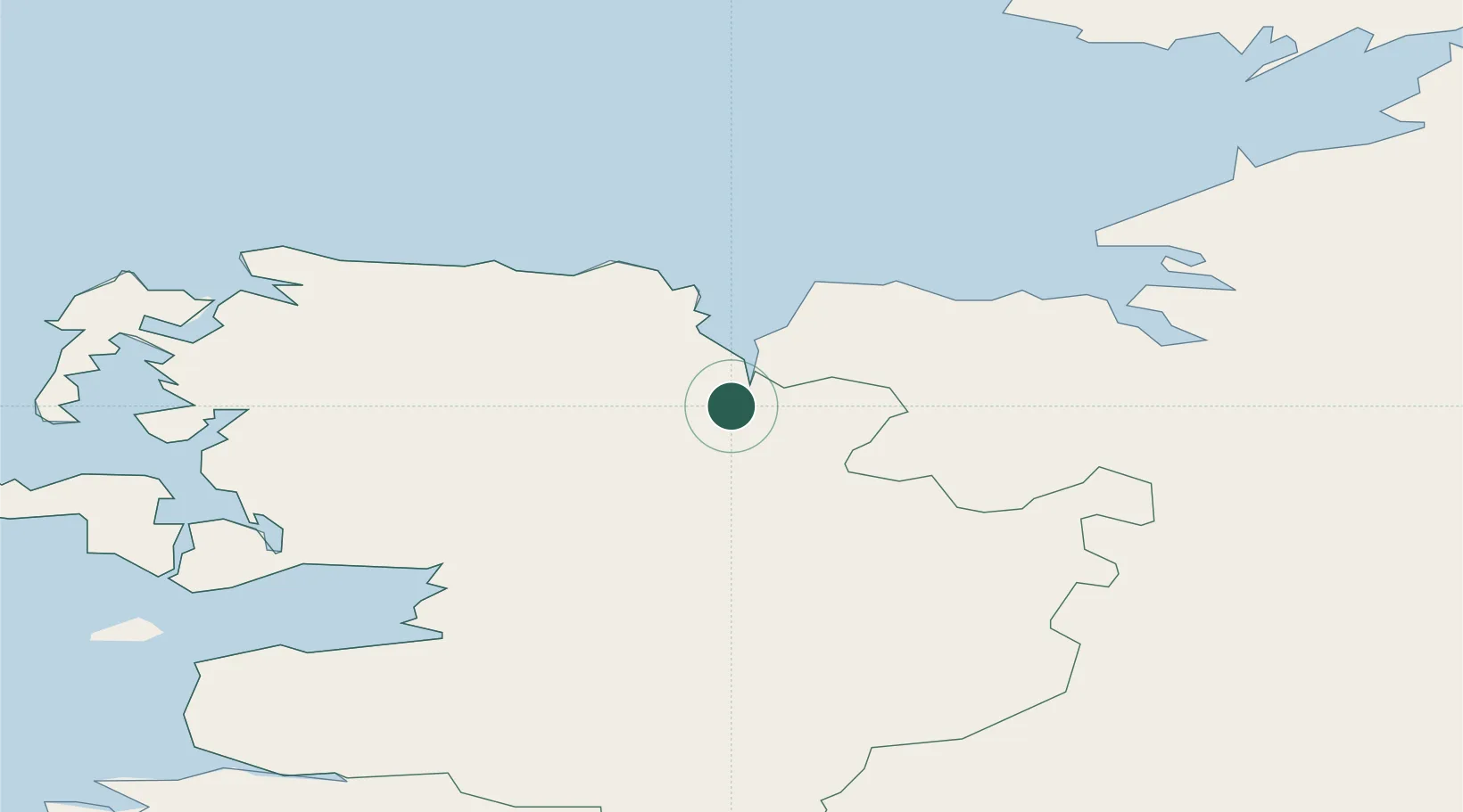
Hub Profile
Place type
Populated place
Region
Connacht
Population
10,087
Time zone
Europe/Dublin
Elevation
32 m
Location
Nearby Logistics Neighbours
Cities
- 1Easkey/Rathlee23 km
- 2Kiltamagh32 km
- 3Newport35 km
- 4Bangor37 km
- 5Ballindine52 km
Ports
- 1Westport43 km
- 2Sligo49 km
- 3Killybegs74 km
- 4Galway95 km
- 5Rathmullan152 km
Airports
- 1Ireland West Airport Knock32 km
- 2Sligo Airport41 km
- 3Connemara Regional Airport101 km
- 4Enniskillen/St Angelo Airport103 km
- 5Donegal Airport116 km
Trade Zones
DatabookThe Record of Consolidated Knowledge
Ireland beyond logistics?