UN/LOCODE hub · United Kingdom
GBGNC

Greencastle

54.0333°, -6.1000°
1
Transport functions

Transport Functions

Port
UN/LOCODE

Hub Profile

Place type
Populated place
GeoNames
Region
Northern Ireland
GeoNames
Time zone
Europe/London
GeoNames
Elevation
4 m
GeoNames

Location

Location of GBGNC
Natural Earth 10m (public domain) · Northern Ireland · GBGNC · 54.03, -6.10GoogleOSMYandex

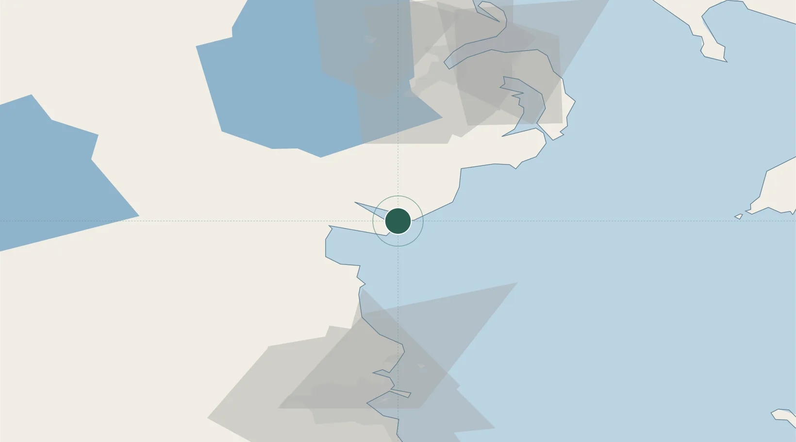
Nearby Logistics Neighbours

Cities
  1. 1Kilkeel8 km
  2. 2Rostrevor10 km
  3. 3Ballymartin11 km
  4. 4Annalong15 km
  5. 5Newry25 km
Nearest neighbours — logibook spatial index (haversine) over the source coordinates
Ports
  1. 1Greenore2 km
  2. 2Kilkeel8 km
  3. 3Warren Point12 km
  4. 4Drogheda38 km
  5. 5Ardglass41 km
Nearest neighbours — logibook spatial index (haversine) over the source coordinates
Airports
  1. 1George Best Belfast City Airport67 km
  2. 2Dublin Airport68 km
  3. 3Belfast International Airport70 km
  4. 4Weston Airport80 km
  5. 5Casement Air Base85 km
Nearest neighbours — logibook spatial index (haversine) over the source coordinates
Trade Zones
  1. 1Dublin International Financial Services Centre77 km
  2. 2Isle of Man Free Zone and Business Park96 km
  3. 3Prestwick Airport Free Zone190 km
  4. 4Blackpool Enterprise Zone203 km
  5. 5Hillhouse Enterprise Zone208 km
Nearest neighbours — logibook spatial index (haversine) over the source coordinates
DatabookThe Record of Consolidated Knowledge
United Kingdom beyond logistics?
Browse databook

All Sources

LocationsUN/LOCODE
UN/LOCODE — free
Portsthe NGA World Port Index
Public domain (US gov)
AirportsOurAirports
Public domain
Trade Zonesthe World Bank SEZ database
CC BY 4.0
Trade ZonesOpen Zone Map
CC BY
← United Kingdom locations