UN/LOCODE hub · United Kingdom
GBROR
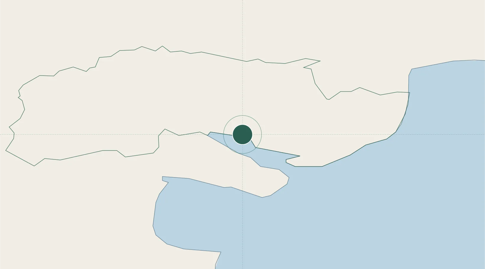
Rostrevor
54.1000°, -6.2000°
2,515
Population
1
Transport functions
Transport Functions
Port
Hub Profile
Place type
Populated place
Region
Northern Ireland
Population
2,515
Time zone
Europe/London
Elevation
8 m
Location
Nearby Logistics Neighbours
Cities
- 1Greencastle10 km
- 2Kilkeel14 km
- 3Newry15 km
- 4Ballymartin17 km
- 5Annalong20 km
Ports
- 1Warren Point3 km
- 2Greenore9 km
- 3Kilkeel15 km
- 4Ardglass42 km
- 5Drogheda43 km
Airports
- 1George Best Belfast City Airport61 km
- 2Belfast International Airport62 km
- 3Dublin Airport75 km
- 4Weston Airport85 km
- 5Casement Air Base90 km
Trade Zones
DatabookThe Record of Consolidated Knowledge
United Kingdom beyond logistics?