Transport Functions
Port
Road
Hub Profile
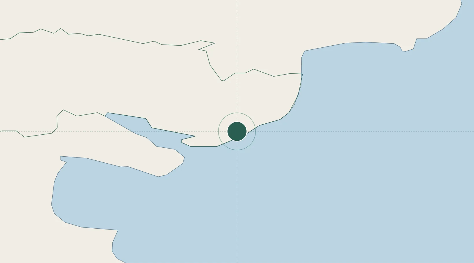
Place type
Populated place
Region
Northern Ireland
Population
6,447
Time zone
Europe/London
Elevation
16 m
Location
Nearby Logistics Neighbours
Cities
- 1Ballymartin3 km
- 2Annalong8 km
- 3Greencastle8 km
- 4Rostrevor14 km
- 5Newry27 km
Ports
- 1Greenore10 km
- 2Warren Point17 km
- 3Ardglass33 km
- 4Drogheda44 km
- 5Belfast62 km
Airports
- 1George Best Belfast City Airport62 km
- 2Belfast International Airport67 km
- 3Dublin Airport73 km
- 4Weston Airport86 km
- 5Isle of Man Airport90 km
Trade Zones
DatabookThe Record of Consolidated Knowledge
United Kingdom beyond logistics?