Transport Functions
Port
Hub Profile
Place type
Populated place
Region
Northern Ireland
Time zone
Europe/London
Elevation
34 m
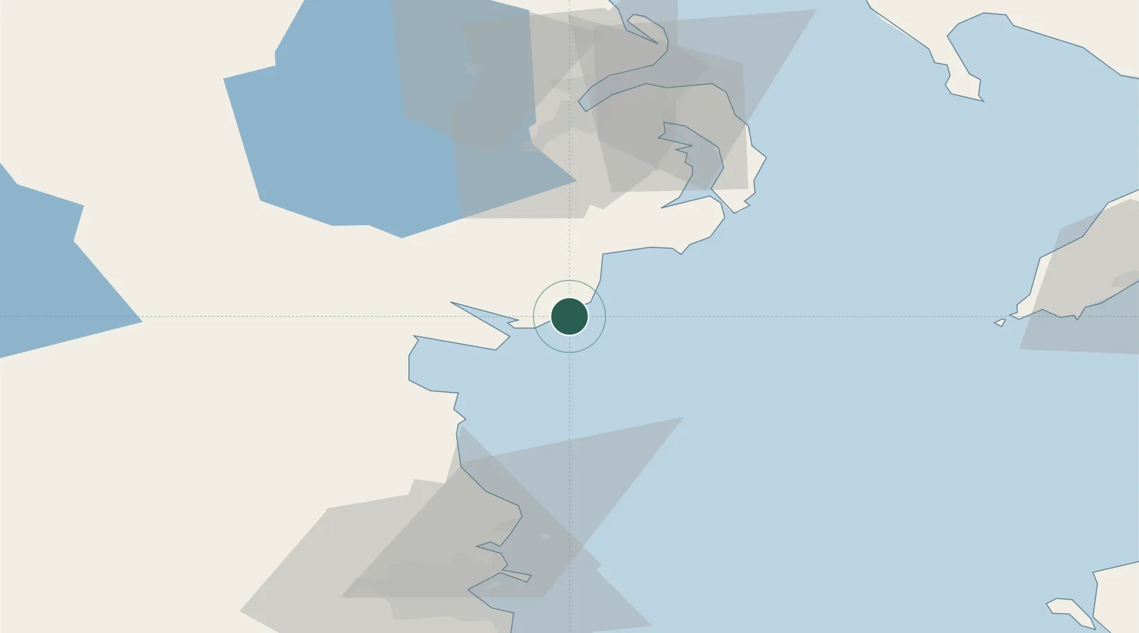
Location
Nearby Logistics Neighbours
Cities
- 1Kilkeel3 km
- 2Annalong5 km
- 3Greencastle11 km
- 4Rostrevor17 km
- 5Killough29 km
Ports
- 1Kilkeel3 km
- 2Greenore13 km
- 3Warren Point20 km
- 4Ardglass31 km
- 5Drogheda45 km
Airports
- 1George Best Belfast City Airport62 km
- 2Belfast International Airport68 km
- 3Dublin Airport74 km
- 4Isle of Man Airport87 km
- 5Weston Airport87 km
Trade Zones
DatabookThe Record of Consolidated Knowledge
United Kingdom beyond logistics?