Channel & Berth Profile
Pilotage, Tugs & Services
Pilotage compulsoryNO
Pilotage availableYES
Local assistanceYES
Tug assistanceNO
Salvage tugsNO
Potable waterYES
Garbage disposalYES
Facilities & Capabilities
Container—
Ro-Ro—
Liquid bulk—
Dry bulk—
Oil terminal—
Break bulk—
Dry dock—
RepairsNO
Bunkering—
Rail link—
Dangerous cargo—
ISPS security—
Harbour Specifications
Harbour size
Very Small
Harbour type
Coastal (Natural)
Shelter
Poor
Water body
Irish Sea; North Atlantic Ocean
Tidal range
4 m
Overhead limit
No
Pilotage
No
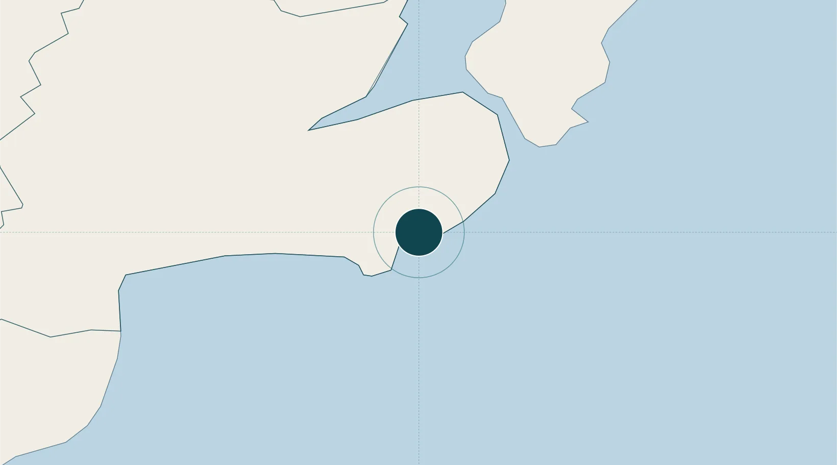
Location
Nearby Logistics Neighbours
Ports
- 1Kilkeel34 km
- 2Greenore43 km
- 3Bangor43 km
- 4Belfast43 km
- 5Warren Point45 km
Cities
- 1Killough2 km
- 2Strangford12 km
- 3Portaferry14 km
- 4Crossgar16 km
- 5Killyleagh16 km
Airports
- 1George Best Belfast City Airport42 km
- 2Belfast International Airport58 km
- 3Isle of Man Airport68 km
- 4Dublin Airport102 km
- 5Weston Airport117 km
Trade Zones
DatabookThe Record of Consolidated Knowledge
United Kingdom beyond logistics?