Channel & Berth Profile
Pilotage, Tugs & Services
Pilotage compulsoryYES
Pilotage availableYES
Local assistanceYES
Tug assistanceYES
Salvage tugsYES
Shore powerNO
Potable waterNO
Diesel bunkersYES
MedicalYES
Garbage disposalNO
Facilities & Capabilities
Container—
Ro-Ro—
Liquid bulk—
Dry bulk—
Oil terminal—
Break bulk—
Dry dock—
Repairs—
BunkeringNO
Rail link—
Dangerous cargo—
ISPS security—
Harbour Specifications
Harbour size
Very Small
Harbour type
Open Roadstead
Shelter
Poor
Water body
Makassar Strait; South Pacific Ocean
Pilotage
Yes
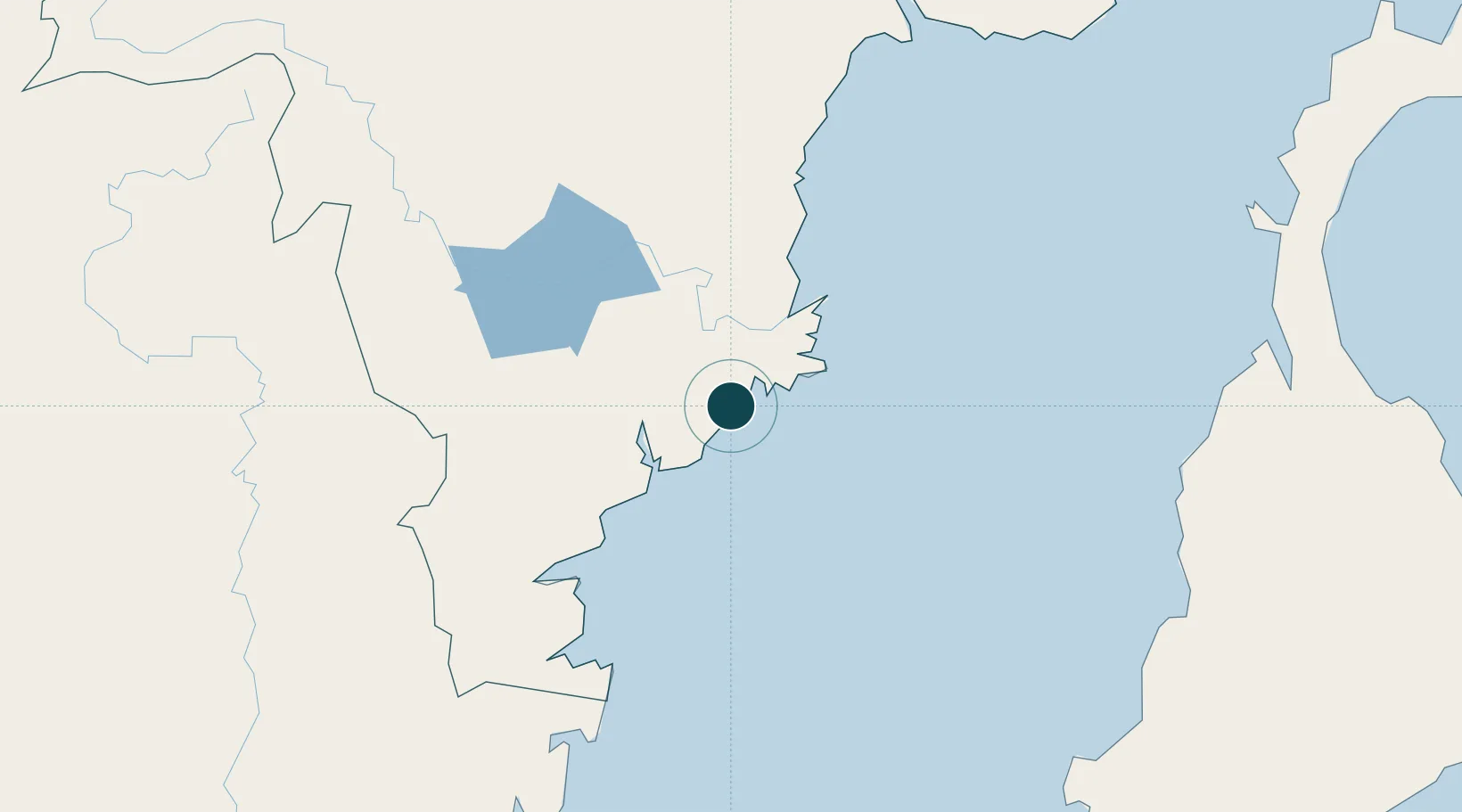
Location
Nearby Logistics Neighbours
Ports
- 1Samarinda49 km
- 2Balikpapan51 km
- 3Lawi Lawi Oil Terminal71 km
- 4Tanjung Santan103 km
- 5Bontang Lng Terminal122 km
Cities
- 1Samarinda, Kalimantan46 km
- 2Balikpapan48 km
- 3Kariangau49 km
- 4Tanjung Merangas116 km
- 5Pulau Bunyu162 km
Airports
Trade Zones
DatabookThe Record of Consolidated Knowledge
Indonesia beyond logistics?