Transport Functions
Port
Postal
Hub Profile
Place type
Populated place
Region
East Kalimantan
Time zone
Asia/Makassar
Elevation
7 m
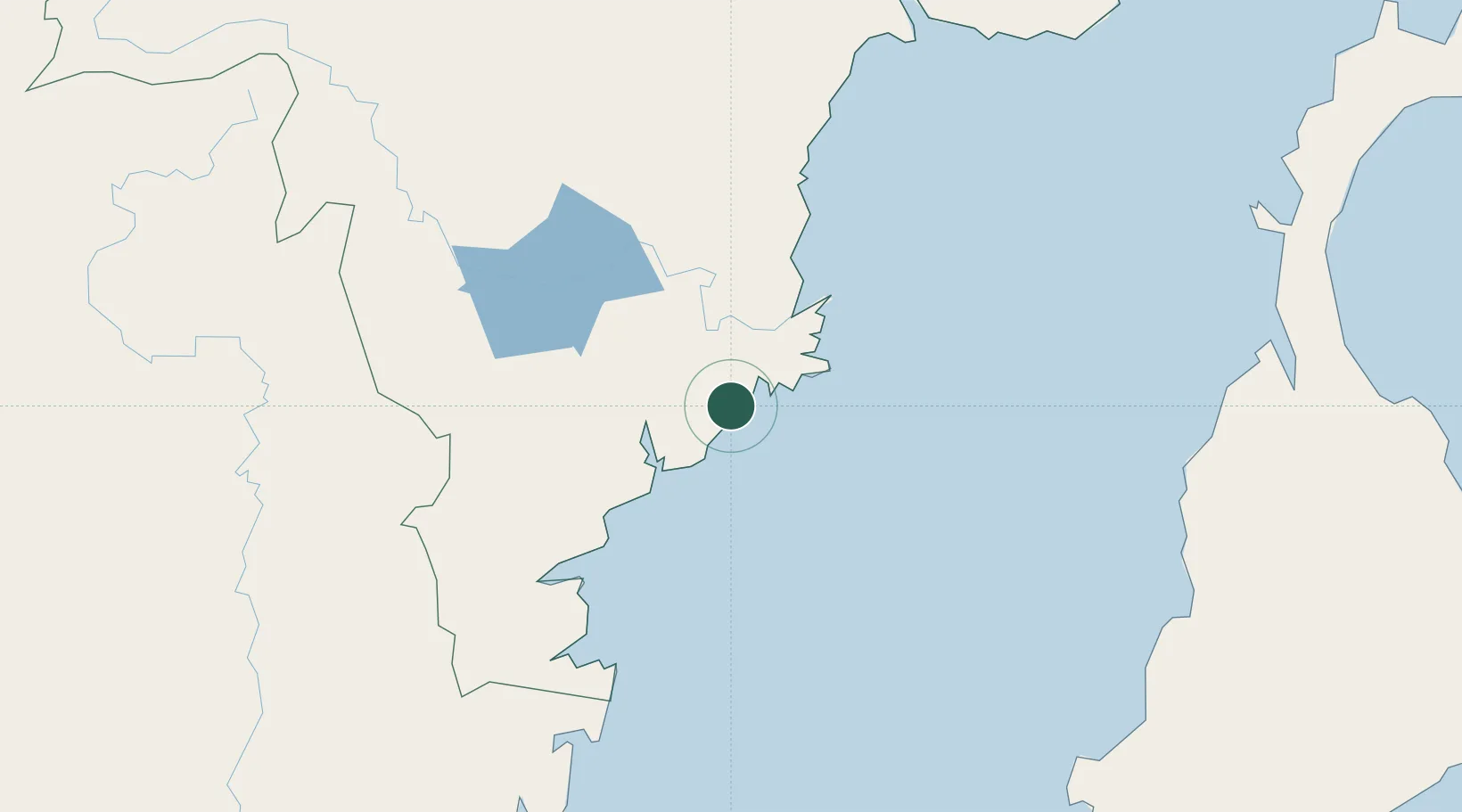
Location
Nearby Logistics Neighbours
Cities
- 1Samarinda, Kalimantan46 km
- 2Balikpapan47 km
- 3Kariangau48 km
- 4Tanjung Merangas117 km
- 5Pulau Bunyu160 km
Ports
- 1Samarinda48 km
- 2Balikpapan50 km
- 3Lawi Lawi Oil Terminal70 km
- 4Tanjung Santan104 km
- 5Bontang Lng Terminal123 km
Airports
Trade Zones
DatabookThe Record of Consolidated Knowledge
Indonesia beyond logistics?