UN/LOCODE hub · Indonesia
IDKRG
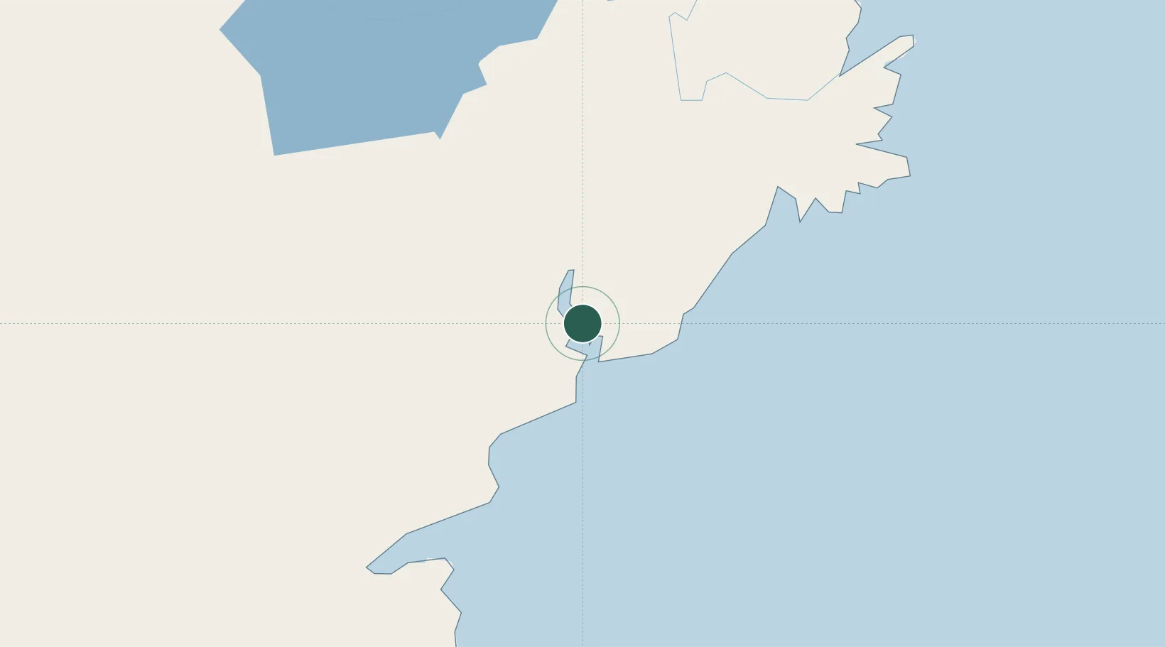
Kariangau
-1.1619°, 116.7794°
1
Transport functions
1
Container terminals
Transport Functions
Port
Hub Profile
Place type
Populated place
Region
East Kalimantan
Time zone
Asia/Makassar
Elevation
23 m
Logistics facilities
1
Container terminals
1
Location
Nearby Logistics Neighbours
Cities
- 1Balikpapan1 km
- 2Senipah48 km
- 3Samarinda, Kalimantan82 km
- 4Pulau Bunyu140 km
- 5Tanjung Merangas156 km
Ports
- 1Balikpapan11 km
- 2Lawi Lawi Oil Terminal32 km
- 3Senipah Oil Terminal49 km
- 4Samarinda81 km
- 5Tanah Merah100 km
Airports
Trade Zones
DatabookThe Record of Consolidated Knowledge
Indonesia beyond logistics?